






Marginal risk for potentially strong storms today across East Alabama and West Georgia
The Storm Prediction Center has placed all of central Alabama and parts of West Georgia under a Marginal Risk (level 1 of 5) for severe thunderstorms this afternoon and tonight.
Image:National Weather Service Storm Prediction Center
Conditions will be warm and humid, and as storms develop and move across the area, a few could strengthen enough to produce wind gusts up to 60 mph or large hail. No tornadoes are expected, according to the National Weather Service in Birmingham.
According to the National Weather Service in Peachtree City, a cold front will move through north and central Georgia tonight into Saturday, bringing showers and isolated thunderstorms. The overall risk for severe weather has decreased for both today and Saturday.
The Marginal Risk previously issued for Saturday has been removed, but periods of rain and scattered thunderstorms will continue through Sunday as the system moves out.
Residents should stay weather-aware, especially this afternoon and evening, as a few storms could briefly turn strong.
Related stories
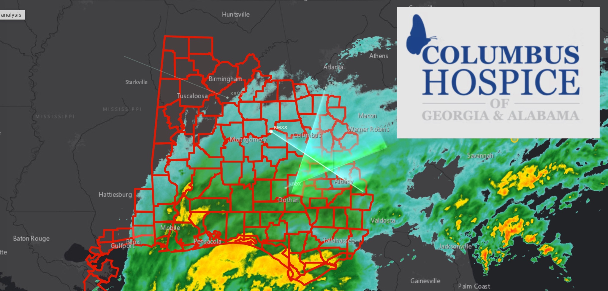 WeatherBREAKING: TROPICAL STORM WARNING EXPANDS ACROSS EAST ALABAMA AND WEST GEORGIA AS HURRICANE ISAIAS APPROACHES
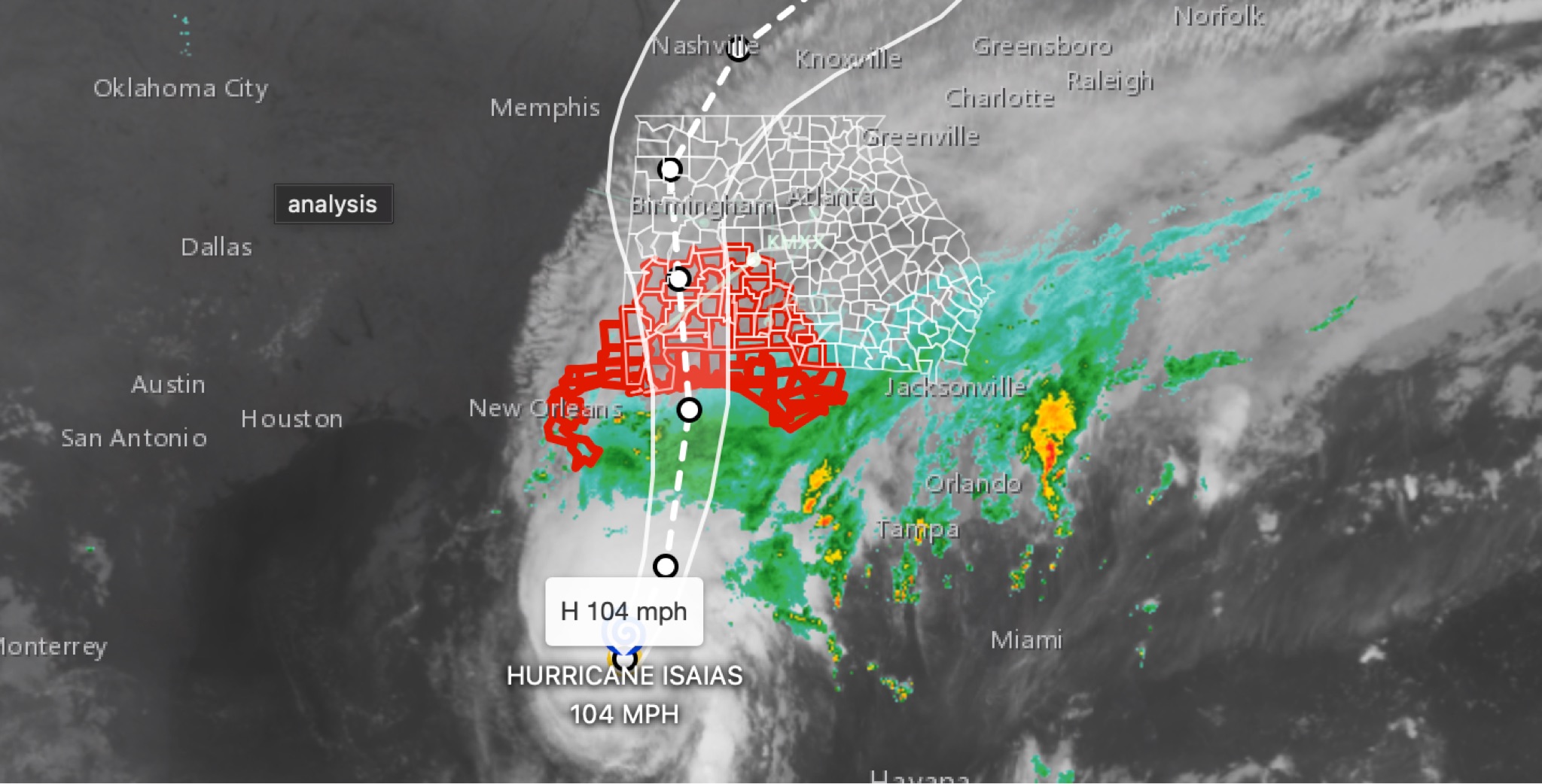 WeatherBREAKING: Hurricane Isaias strengthens to 104MPH in 11 p.m. advisory; East Alabama and West Georgia face flooding, wind, tornado threats
 WeatherFLOOD WATCH issued across East Alabama and West Georgia ahead of Hurricane Isaias
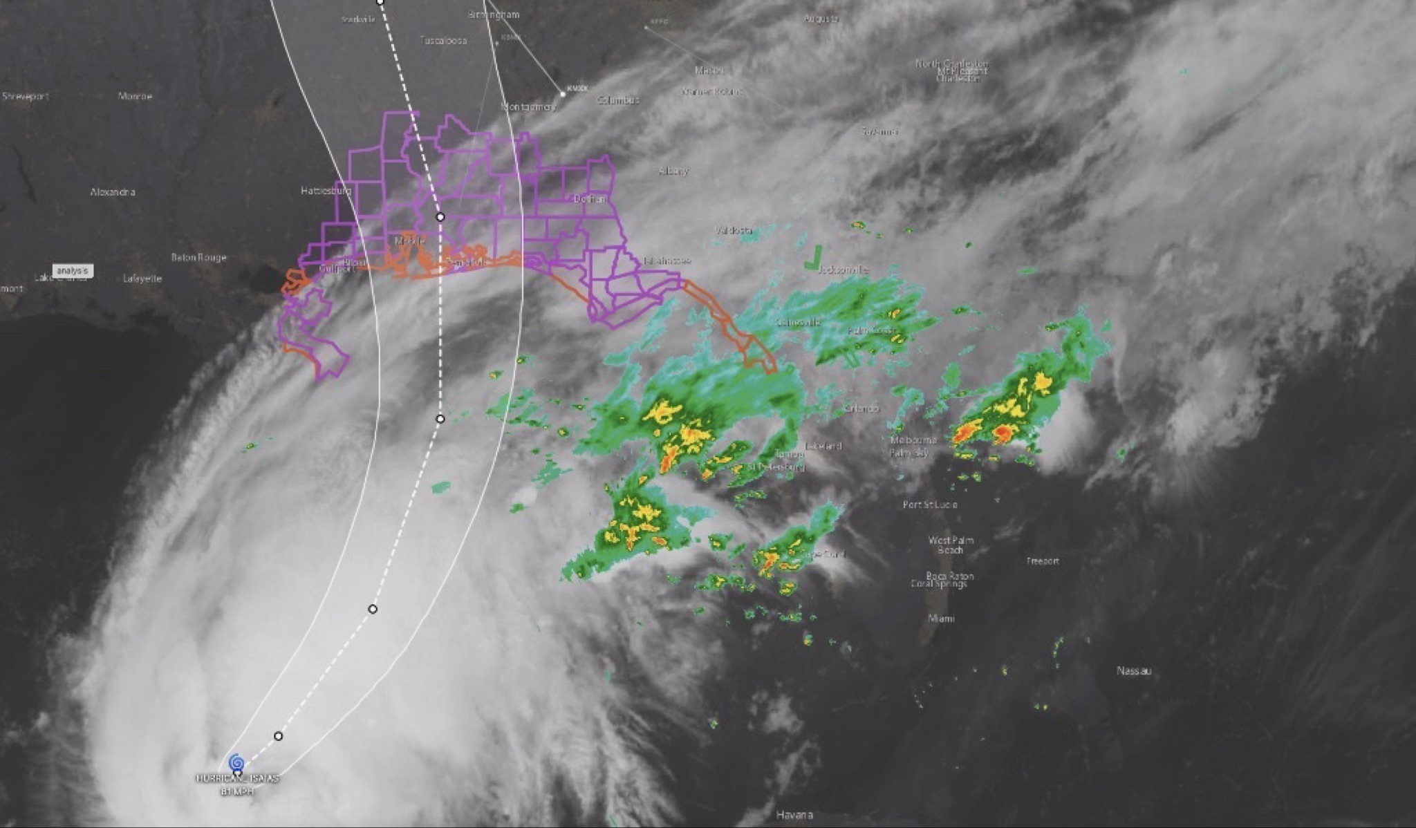 WeatherHURRICANE ISAIAS: East Alabama and West Georgia brace for heavy rain, strong winds and tornado threat
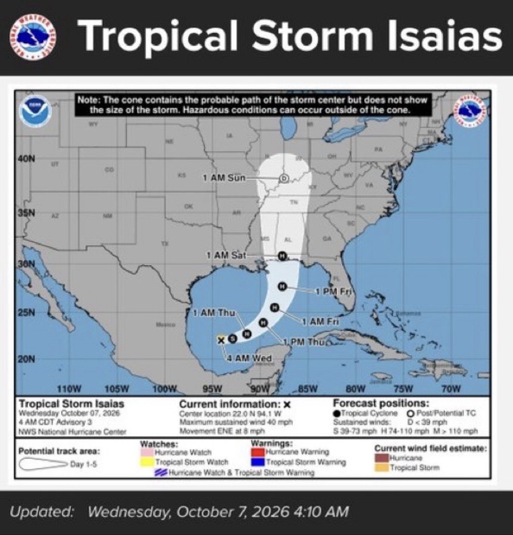 WeatherTropical Storm Isaias expected to strengthen into first hurricane of 2026 season; our coverage area could see rain, wind and flooding