






HURRICANE ISAIAS: East Alabama and West Georgia brace for heavy rain, strong winds and tornado threat
Hurricane Isaias is continuing to strengthen over the Gulf of Mexico, and residents across East Alabama and West Georgia are now preparing for the storm’s expected inland impacts beginning Friday and continuing into Saturday.
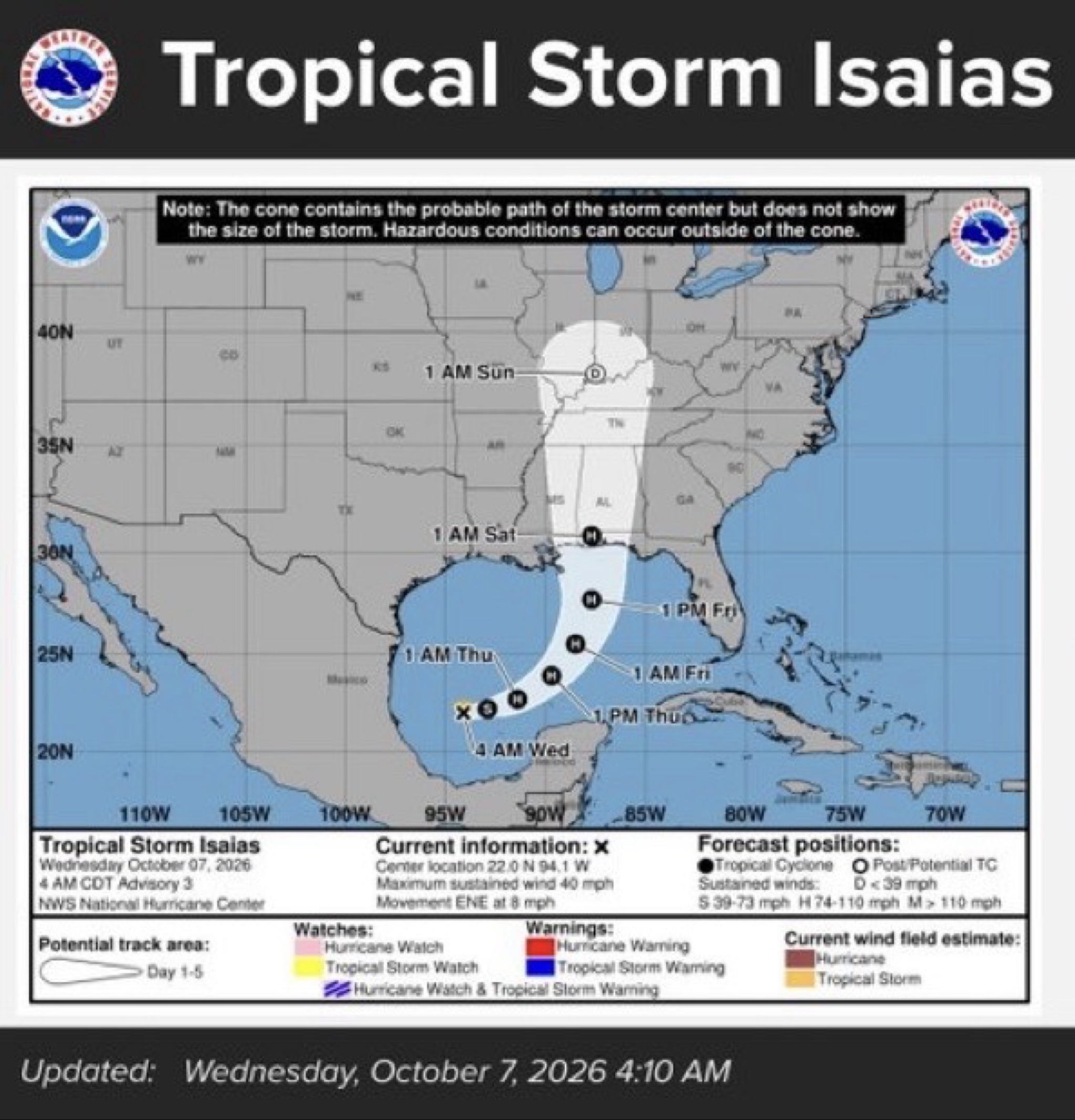
The National Hurricane Center reported early Thursday that Isaias had strengthened to a Category 1 hurricane with maximum sustained winds of 80 mph. The storm is expected to continue strengthening before making landfall along the northern Gulf Coast late Friday or early Saturday.
While the most dangerous hurricane conditions are expected closer to the Gulf Coast, Isaias will bring significant weather impacts well inland, including portions of the CNAW2News.com coverage area.
For East Alabama, the National Weather Service in Birmingham is forecasting strong wind gusts, heavy rainfall, flooding and the possibility of isolated tornadoes. Current projections call for wind gusts of 40 to 50 mph late Friday night into Saturday in parts of Central Alabama, which could result in scattered to numerous downed trees and power lines. Rainfall totals of 2 to 4 inches, with locally higher amounts up to 5 inches, could also produce flash flooding, particularly in urban and poor-drainage areas.
The tornado threat is expected to increase Saturday, particularly along and east of Interstate 65 in Alabama. The National Weather Service says confidence remains low regarding the exact location and magnitude of the tornado threat, but isolated tornadoes could develop as rain bands associated with Isaias move through the region.
For Auburn and the surrounding Lee County area, current NWS projections show maximum wind gusts around the 30-35 mph range, with additional rainfall and the potential for isolated severe weather Saturday. Auburn is included in CNAW2News.com’s East Alabama coverage area and will continue to be monitored as the storm track becomes clearer.
Across West Georgia, including Columbus and LaGrange, the National Weather Service in Atlanta is highlighting a greater risk for heavy rain and localized flash flooding from Friday into Saturday. Current forecasts place Columbus and LaGrange in a Level 2 of 4, or Slight Risk, for excessive rainfall, with localized flash flooding possible, particularly in low-lying, poor-drainage and urban areas.
The latest NWS Atlanta outlook also places portions of the Chattahoochee Valley under a Level 2 of 5, or Slight Risk, for severe thunderstorms Saturday, with damaging wind gusts and tornadoes possible. The forecast specifically notes that rain bands associated with Isaias could produce enhanced wind gusts and quick spin-up tornadoes. Gusts could reach as high as 60 mph in the broader threat area.
Current wind projections show approximately 30-35 mph maximum gusts around Columbus and LaGrange, although stronger gusts could occur within thunderstorms or heavier rain bands.
The National Hurricane Center says Isaias is expected to produce 3 to 7 inches of rain, with localized totals up to 10 inches, across portions of the central U.S. Gulf Coast. Farther inland across much of the Southeast, 1 to 3 inches of rain, with locally higher amounts up to 5 inches, are possible, with flash, urban and isolated river flooding possible. The tornado threat is expected to continue Saturday across eastern Alabama, Georgia and northern Florida.
Alabama Emergency Management officials say the storm’s track has shifted somewhat westward, with Isaias expected to move across western Alabama or eastern Mississippi after landfall. EMA continues to warn of increasing rainfall, flooding and power outages as the storm moves inland.
There is also a major emergency-response effort underway. Fire departments from across Alabama, including Auburn Fire Department and Opelika Fire Department, are preparing to deploy fire suppression and water rescue resources to the Gulf Coast ahead of Isaias. The teams are scheduled to depart Thursday and could remain deployed through Sunday depending on weather conditions and operational needs.
The deployment is being coordinated through the Alabama Association of Fire Chiefs Mutual Aid Consortium and marks the first pre-deployment of resources under the statewide mutual-aid agreement, which was established following Hurricane Sally in 2020.
For residents across East Alabama and West Georgia, officials are urging people not to wait until the storm arrives to prepare. Charge phones and other essential devices, secure outdoor items, have multiple ways to receive weather alerts and be prepared for possible power outages. Residents should also avoid driving through flooded roadways.
The exact track and intensity of Isaias will continue to change, and impacts can occur well outside the center of the storm or forecast cone.
CNAW2News.com will continue monitoring the latest information from the National Hurricane Center, National Weather Service offices in Birmingham and Atlanta, Alabama Emergency Management and local emergency agencies throughout the storm.
Stay with CNAW2News.com for continued Hurricane Isaias coverage across East Alabama and West Georgia.
Related stories
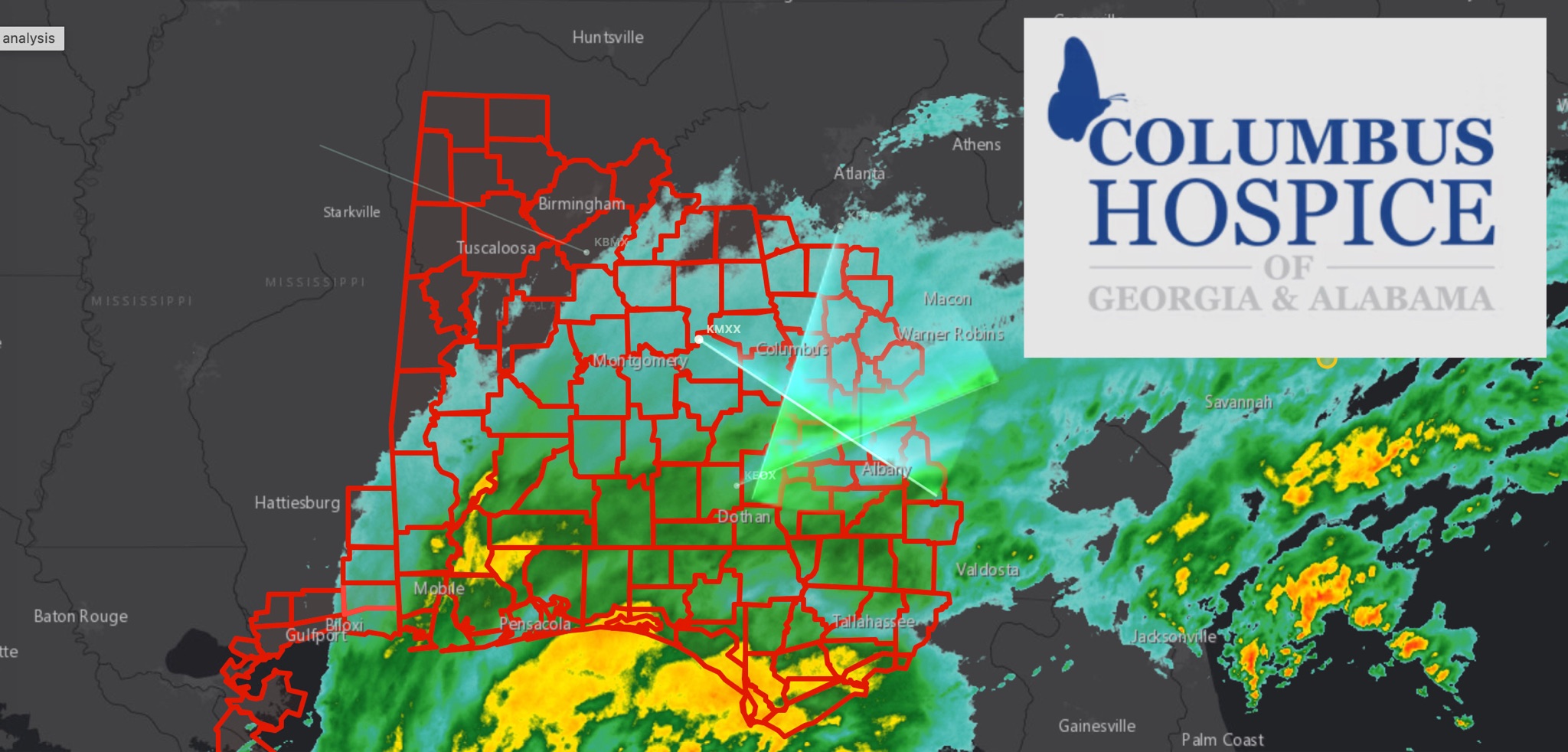 WeatherBREAKING: TROPICAL STORM WARNING EXPANDS ACROSS EAST ALABAMA AND WEST GEORGIA AS HURRICANE ISAIAS APPROACHES
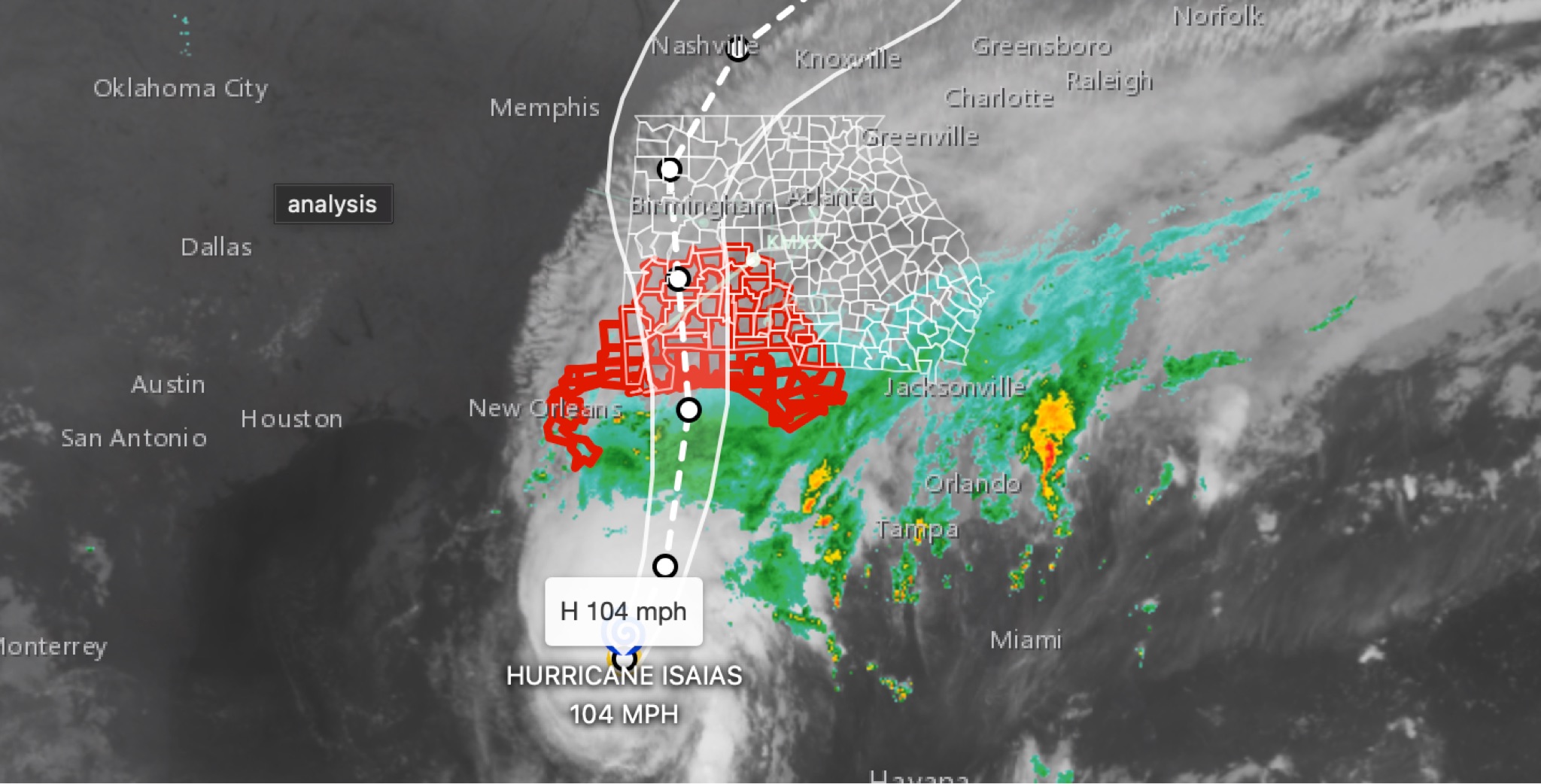 WeatherBREAKING: Hurricane Isaias strengthens to 104MPH in 11 p.m. advisory; East Alabama and West Georgia face flooding, wind, tornado threats
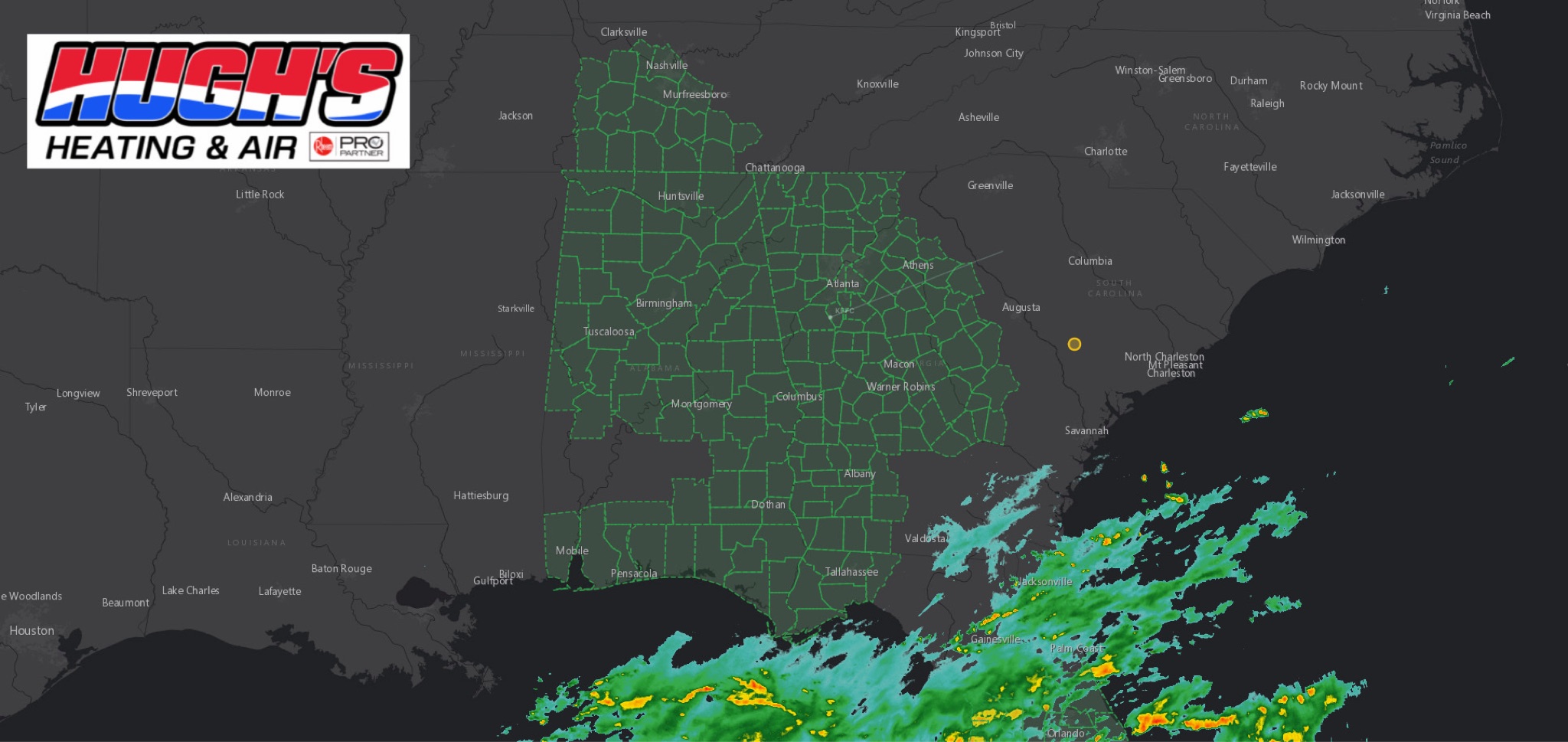 WeatherFLOOD WATCH issued across East Alabama and West Georgia ahead of Hurricane Isaias
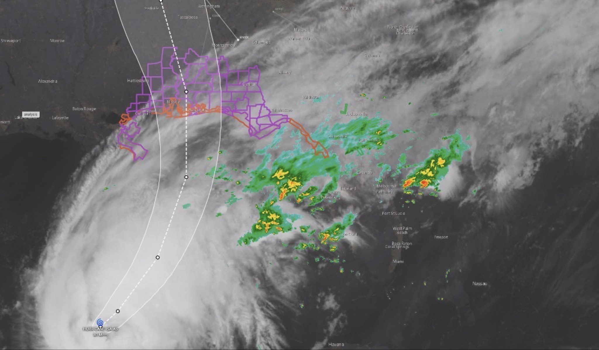 WeatherHURRICANE ISAIAS: East Alabama and West Georgia brace for heavy rain, strong winds and tornado threat
 WeatherTropical Storm Isaias expected to strengthen into first hurricane of 2026 season; our coverage area could see rain, wind and flooding