






BREAKING: Hurricane Isaias strengthens to 110 MPH; major hurricane possible before landfall
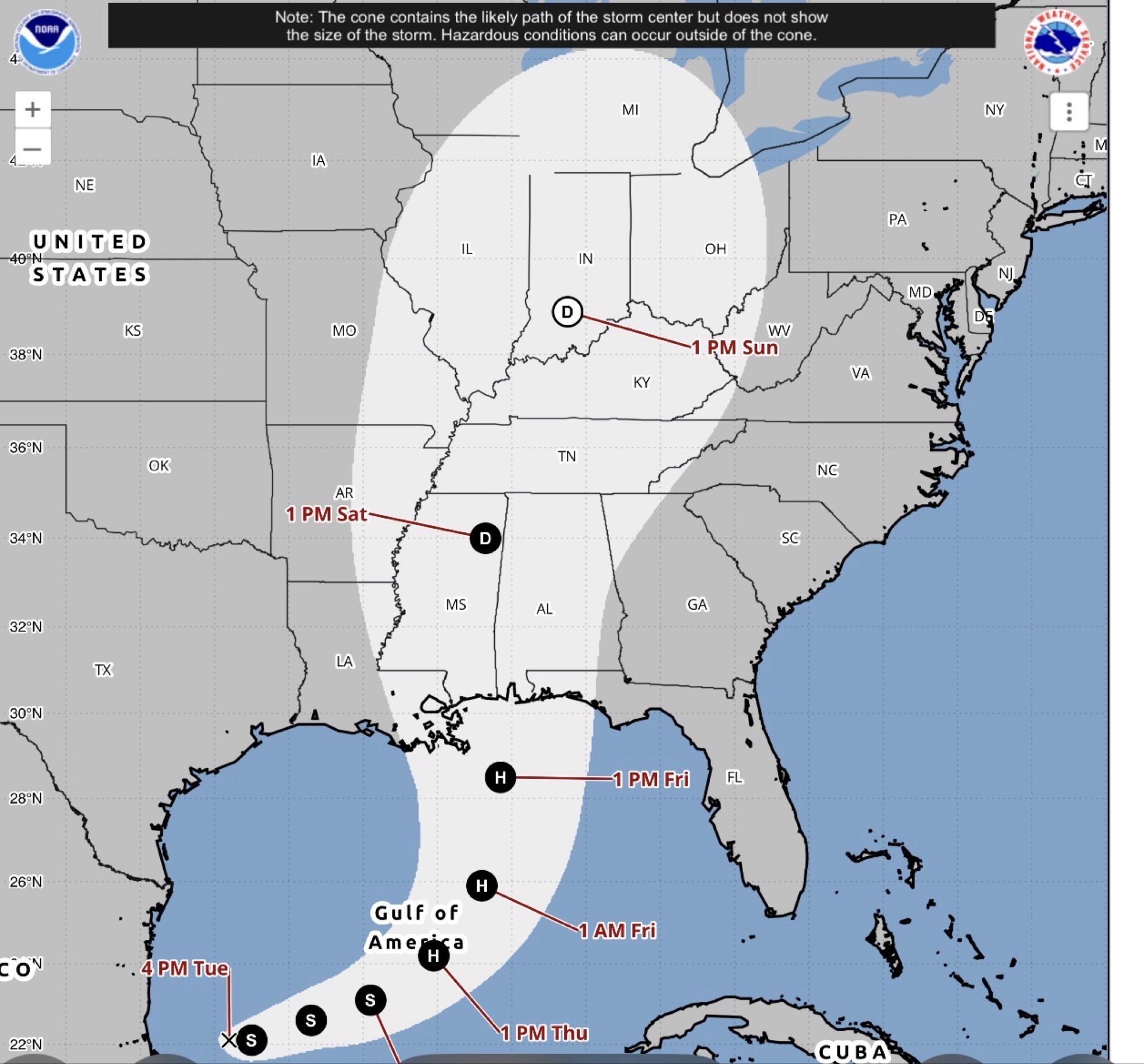
Hurricane Isaias continues to strengthen over the Gulf, with maximum sustained winds reaching 110 mph in the National Hurricane Center’s 4 a.m. Friday advisory. Forecasters say the storm could become a major hurricane Friday morning as it approaches the northern Gulf Coast.
The National Hurricane Center said Isaias was located approximately 200 miles south-southeast of the mouth of the Mississippi River and moving north-northeast at 15 mph. A turn toward the north is expected later Friday, with landfall forecast within the warning area Friday night or early Saturday.
Although some weakening is expected before landfall, forecasters warn Isaias is expected to remain a dangerous hurricane.
EAST ALABAMA AND WEST GEORGIA BRACING FOR HEAVY RAIN, FLOODING AND TORNADOES
The storm is expected to bring significant impacts inland across the CNAW2News coverage area, including heavy rainfall, gusty winds, possible power outages and a continuing tornado threat.
The National Hurricane Center forecasts 4 to 8 inches of rain across southern Alabama, the Florida Panhandle and southwestern Georgia through the weekend, with localized totals reaching 15 inches possible in some areas. Across much of the remainder of the Southeast, 2 to 5 inches of rain are expected, with locally higher amounts possible.
Forecasters warn flash and urban flooding are likely across the region, with considerable impacts possible across much of southern Alabama and the Florida Panhandle into southwestern Georgia. River flooding is also expected, and some locations could experience significant flooding.
A tornado threat is expected to begin late Friday afternoon across coastal areas of Alabama, the Florida Panhandle and far southwestern Georgia. The threat is forecast to continue Saturday across parts of eastern Alabama, Georgia and the Carolinas.
Residents across East Alabama and West Georgia should monitor updated forecasts and be prepared for rapidly changing conditions. Secure loose outdoor objects, charge phones and essential devices, and identify a safe place to shelter if a tornado warning is issued.
Never drive through flooded roadways. Turn around and find another route.
DANGEROUS CONDITIONS EXPECTED ALONG THE GULF COAST
A Hurricane Warning remains in effect from Ocean Springs, Mississippi, to the Bay and Gulf County line in Florida. A Storm Surge Warning extends from the mouth of the Mississippi River to the Suwannee River in Florida.
The National Hurricane Center warns storm surge could reach 5 to 7 feet above ground in some areas between Dauphin Island, Alabama, and Indian Pass, Florida, if peak surge occurs at high tide. Life-threatening coastal flooding is possible, and residents in warning areas should follow evacuation instructions from local officials.
Hurricane conditions are expected within the warning area Friday night into early Saturday, with tropical-storm conditions beginning earlier.
CNAW2News.com will continue monitoring Hurricane Isaias and providing updates on its potential impacts across East Alabama and West Georgia as new advisories are issued.
Related stories
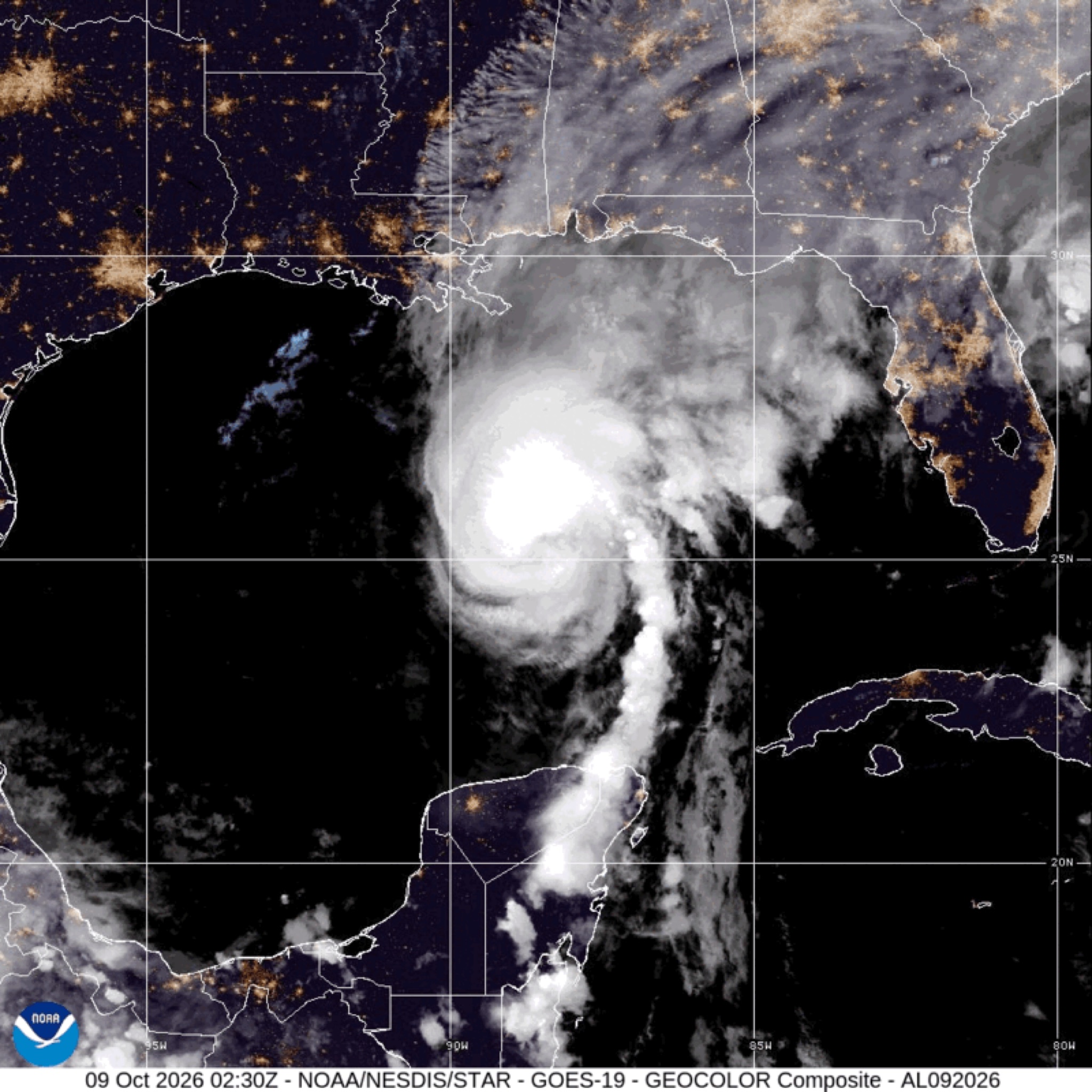 WeatherBREAKING: Hurricane Isaias strengthens to 110 MPH; major hurricane possible before landfall
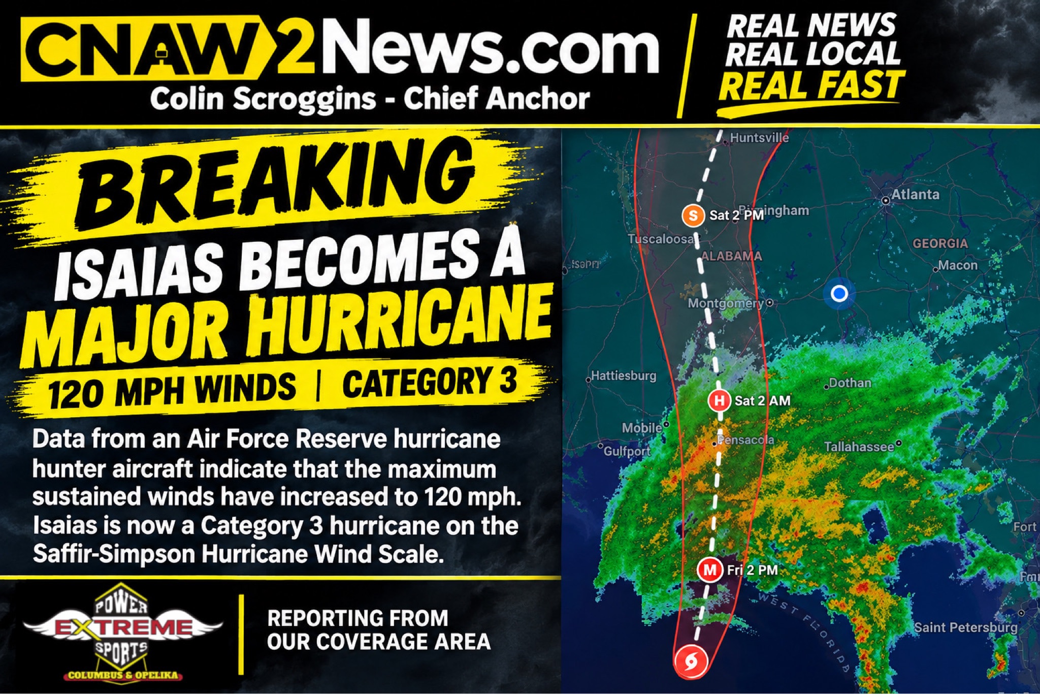 WeatherBREAKING: HURRICANE ISAIAS STRENGTHENS INTO A MAJOR CATEGORY 3 HURRICANE WITH 120 MPH WINDS
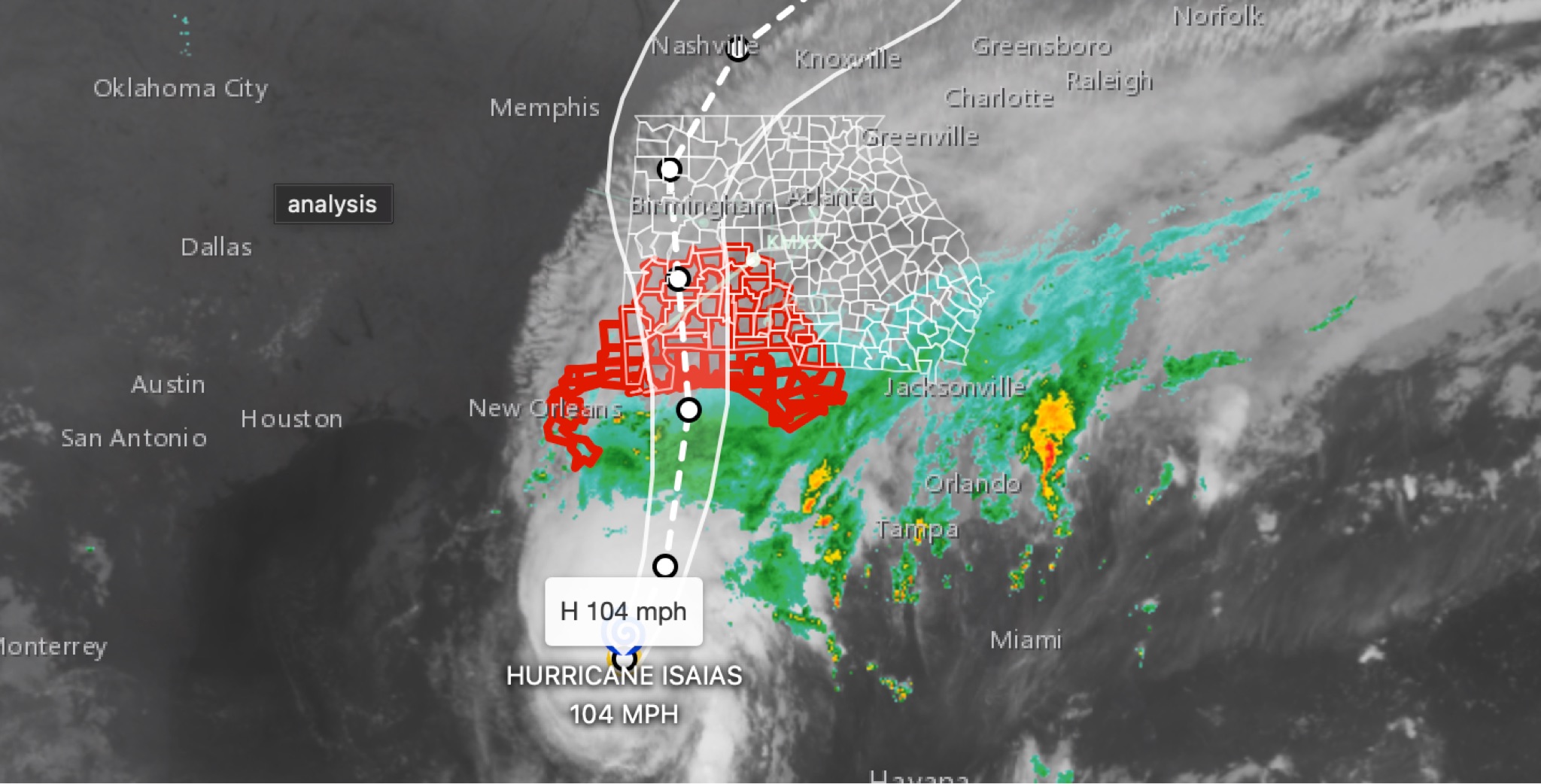 WeatherBREAKING: Hurricane Isaias strengthens to 104MPH in 11 p.m. advisory; East Alabama and West Georgia face flooding, wind, tornado threats
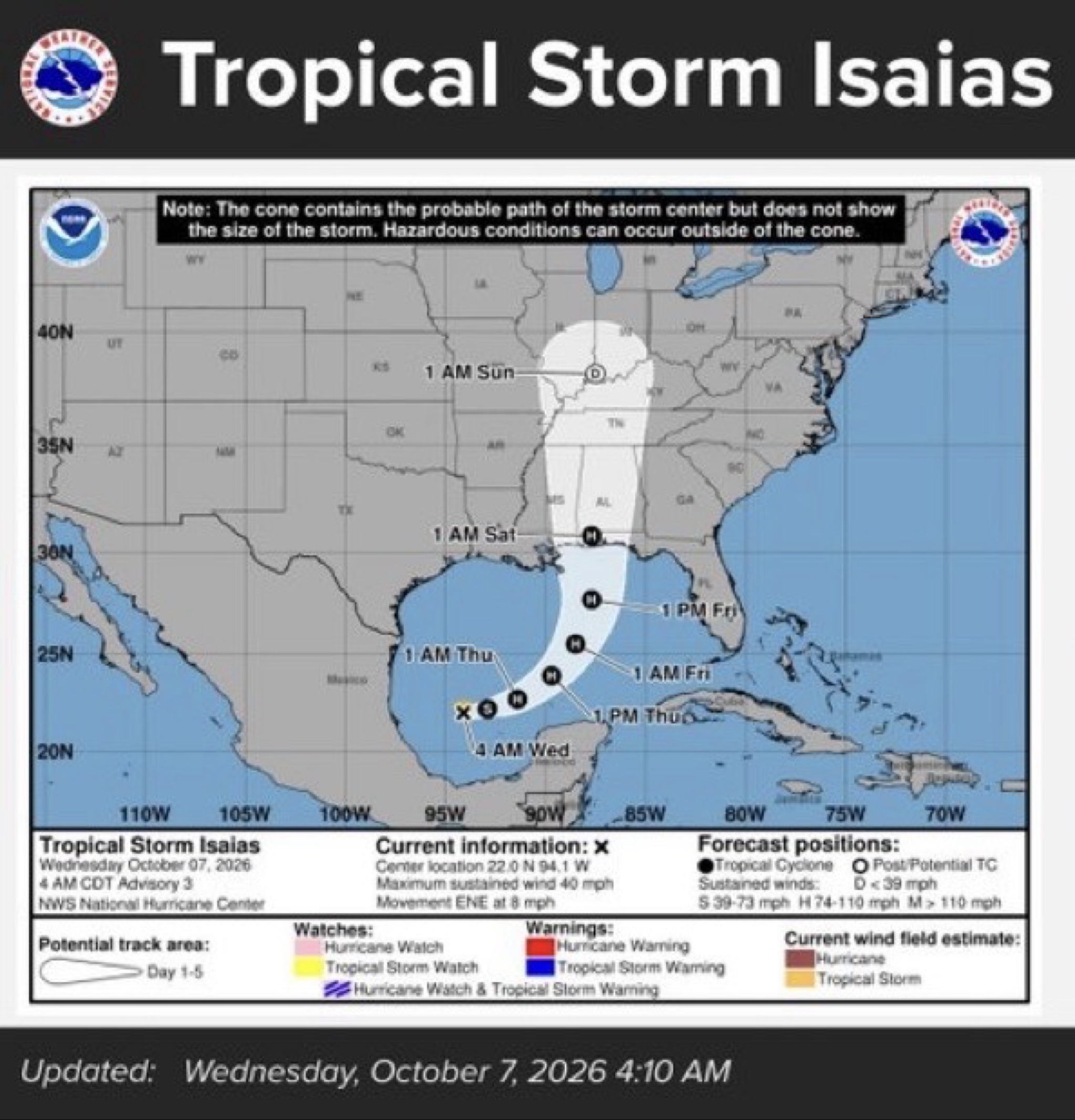 WeatherTropical Storm Isaias expected to strengthen into first hurricane of 2026 season; our coverage area could see rain, wind and flooding
 WeatherTropical Depression Nine Could Strengthen Into Category 2 Hurricane Before Gulf Coast Landfall