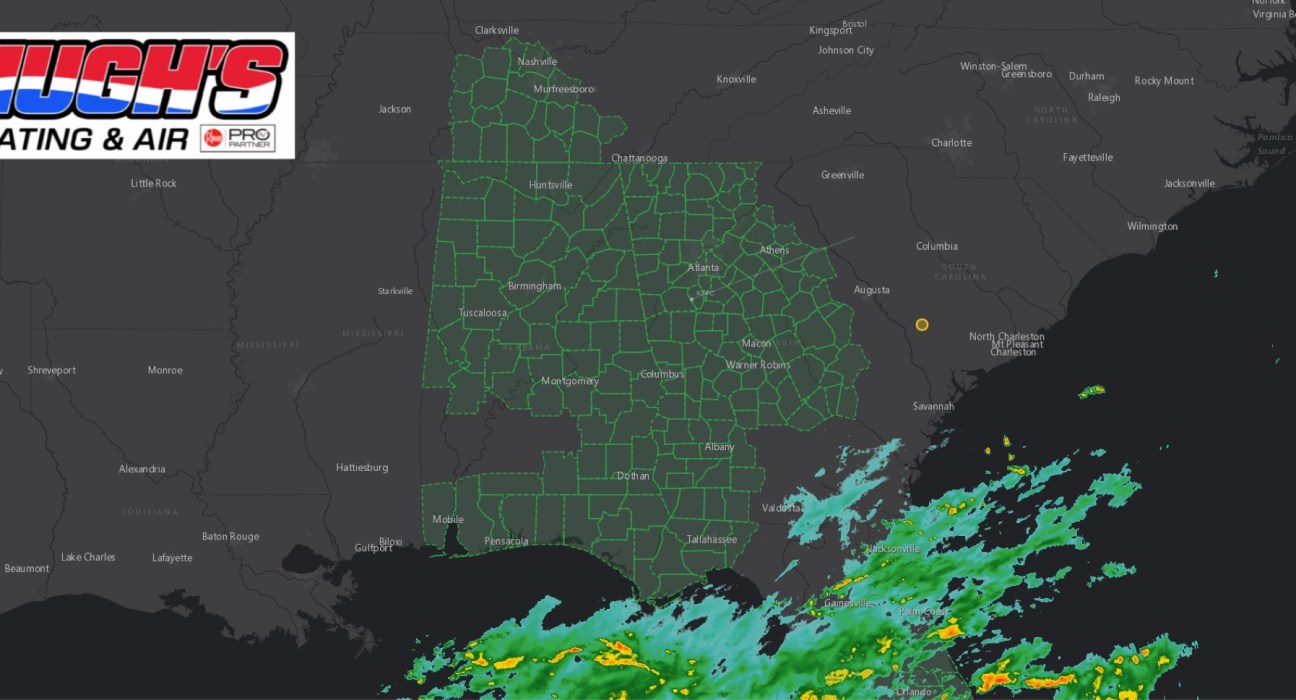
A Flood Watch has been issued across portions of East Alabama and West Georgia as Hurricane Isaias approaches the Gulf Coast and is expected to bring periods of heavy rainfall inland.
The Flood Watch is in effect from late Friday night through Sunday morning. The National Weather Service says excessive rainfall could lead to flooding of rivers, creeks, streams and other low-lying or flood-prone areas.
For West Georgia, the watch includes Muscogee, Chattahoochee, Harris, Troup, Heard, Coweta, Meriwether, Talbot, Taylor, Upson, Marion, Stewart, Webster, Schley, Macon, and surrounding counties.
The watch also extends into East Alabama, including Chambers, Lee, Russell, Tallapoosa, Macon, and Barbour counties, where forecasters are monitoring the potential for heavy rainfall, flooding and gusty winds as Isaias moves inland.

The National Weather Service in Birmingham says Central Alabama could see heavy rainfall, gusty winds, isolated tornadoes and localized flooding from Friday night into Saturday.
In West Georgia, the National Weather Service is forecasting 1 to 3 inches of rainfall, with localized amounts up to 5 inches possible. High rainfall rates and repeated bands of rain could increase the flash-flood threat, particularly in urban areas, locations with poor drainage, and near creeks and streams.
Residents across the CNAW2News coverage area are urged to monitor the latest forecasts and be prepared to act if Flood Warnings are issued.
Never drive through a flooded roadway. Turn around, don’t drown.
CNAW2News.com will continue tracking Hurricane Isaias and its impacts across East Alabama and West Georgia as additional watches and warnings are issued.