






FLASH FLOOD WARNING ISSUED FOR LEE, RUSSELL, BARBOUR, BULLOCK AND MACON COUNTIES
 LIVE NOW
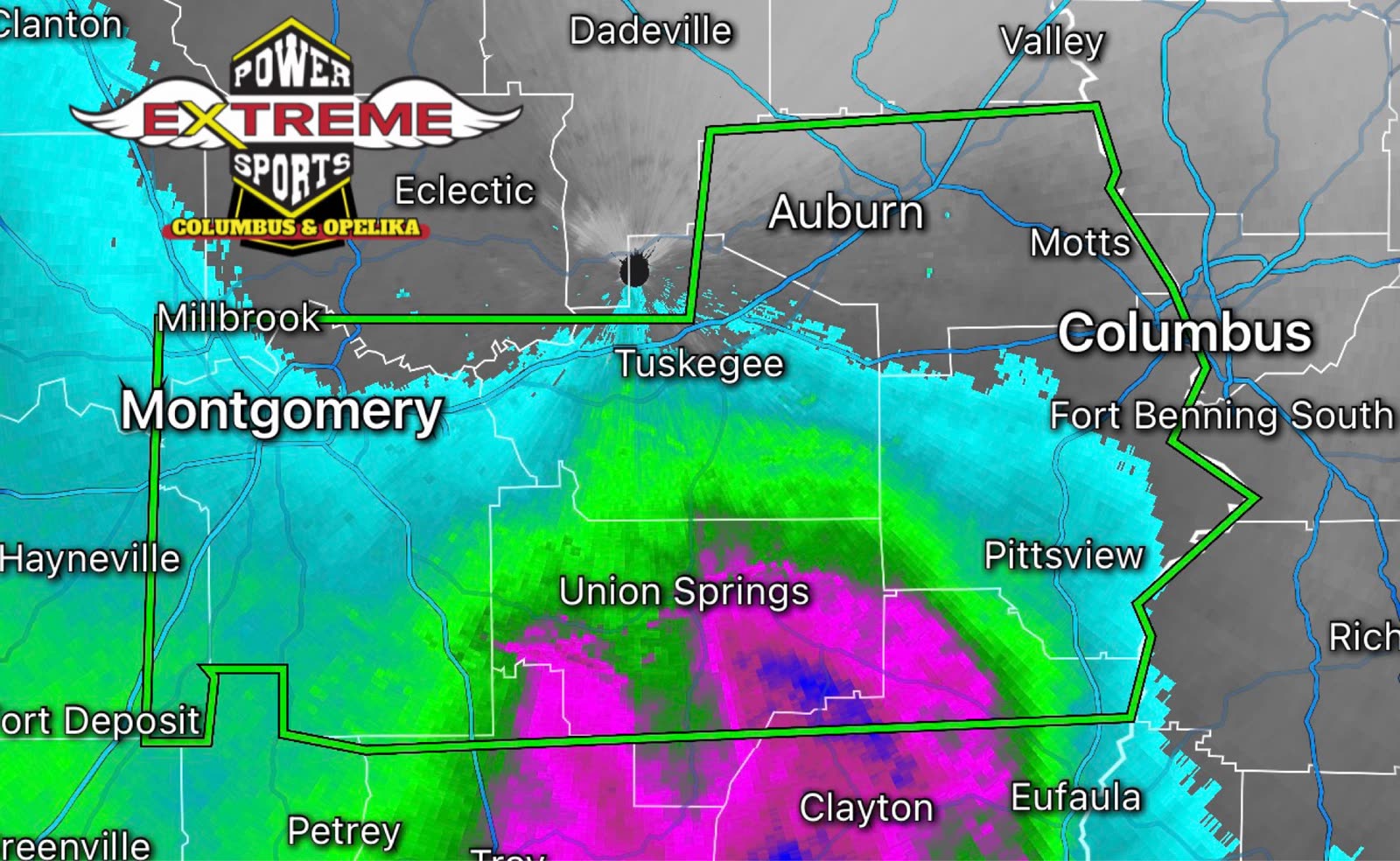
- Flash flood warning issued for five Alabama counties until 3 a.m. Saturday due to heavy thunderstorm rainfall.
- Two to four additional inches of rain expected; flooding may impact roads, highways, and low-lying areas.
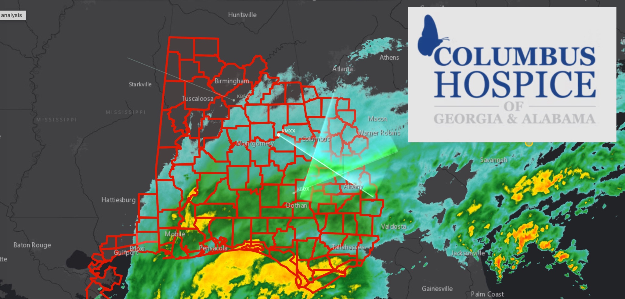
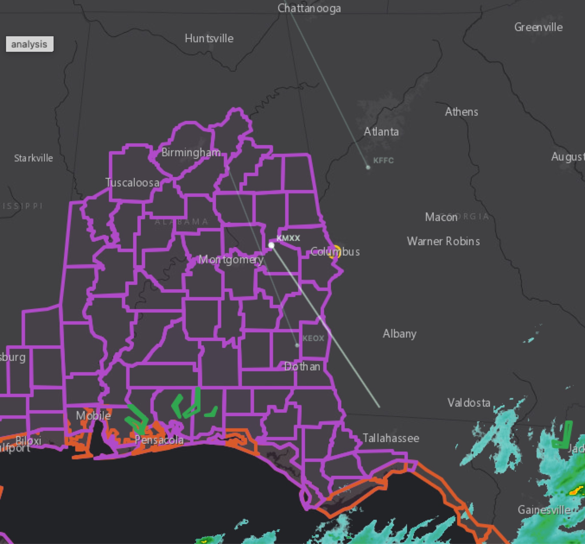
The National Weather Service in Birmingham has issued a Flash Flood Warning until 3 a.m. CDT Saturday for parts of central and southeast Alabama, including Lee, Russell, northern Barbour, Bullock and Macon counties.
The warning was issued at 12:02 a.m. CDT after Doppler radar indicated thunderstorms producing heavy rain. Between 2 and 4 inches of rain have already fallen, with an additional 2 to 4 inches possible. Flash flooding is ongoing or expected to begin shortly.
Other affected areas include Montgomery, Auburn, Opelika, Phenix City, Smiths Station, Tuskegee and Union Springs.
Flooding may impact creeks, streams, roads, underpasses and other low-lying areas, including portions of Interstates 85 and 65 and several major U.S. highways.
Turn around, don’t drown. Never drive through flooded roads.
Related stories
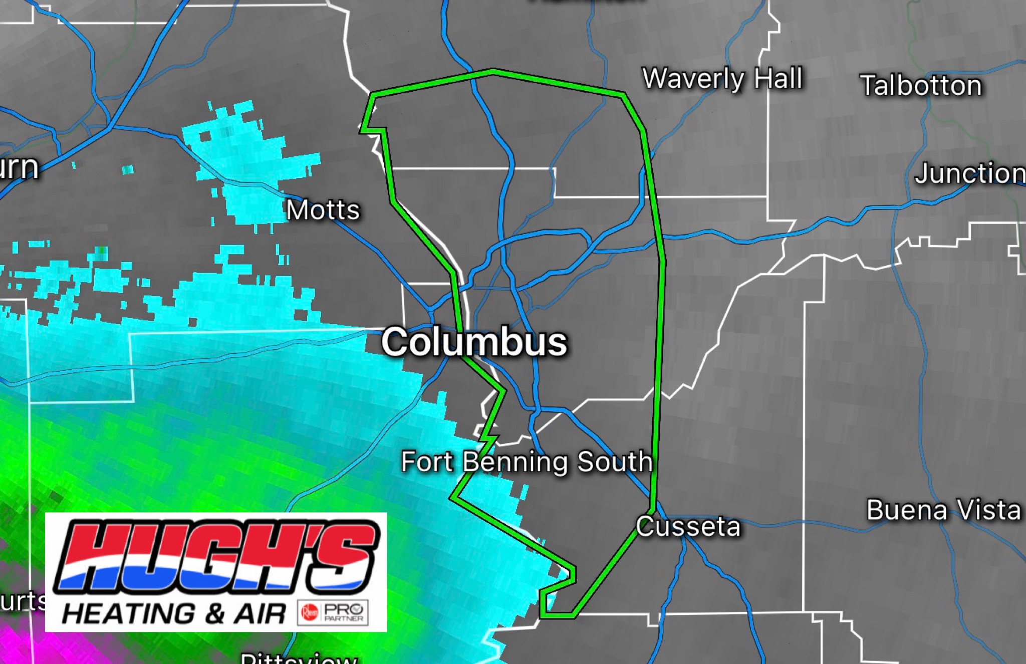 WeatherBREAKING: FLASH FLOOD WARNING ISSUED FOR MUSCOGEE, CHATTAHOOCHEE AND HARRIS COUNTIES
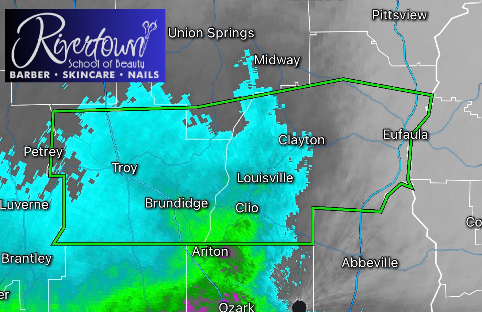 WeatherFlash flood warning issued for Barbour County in southeast Alabama
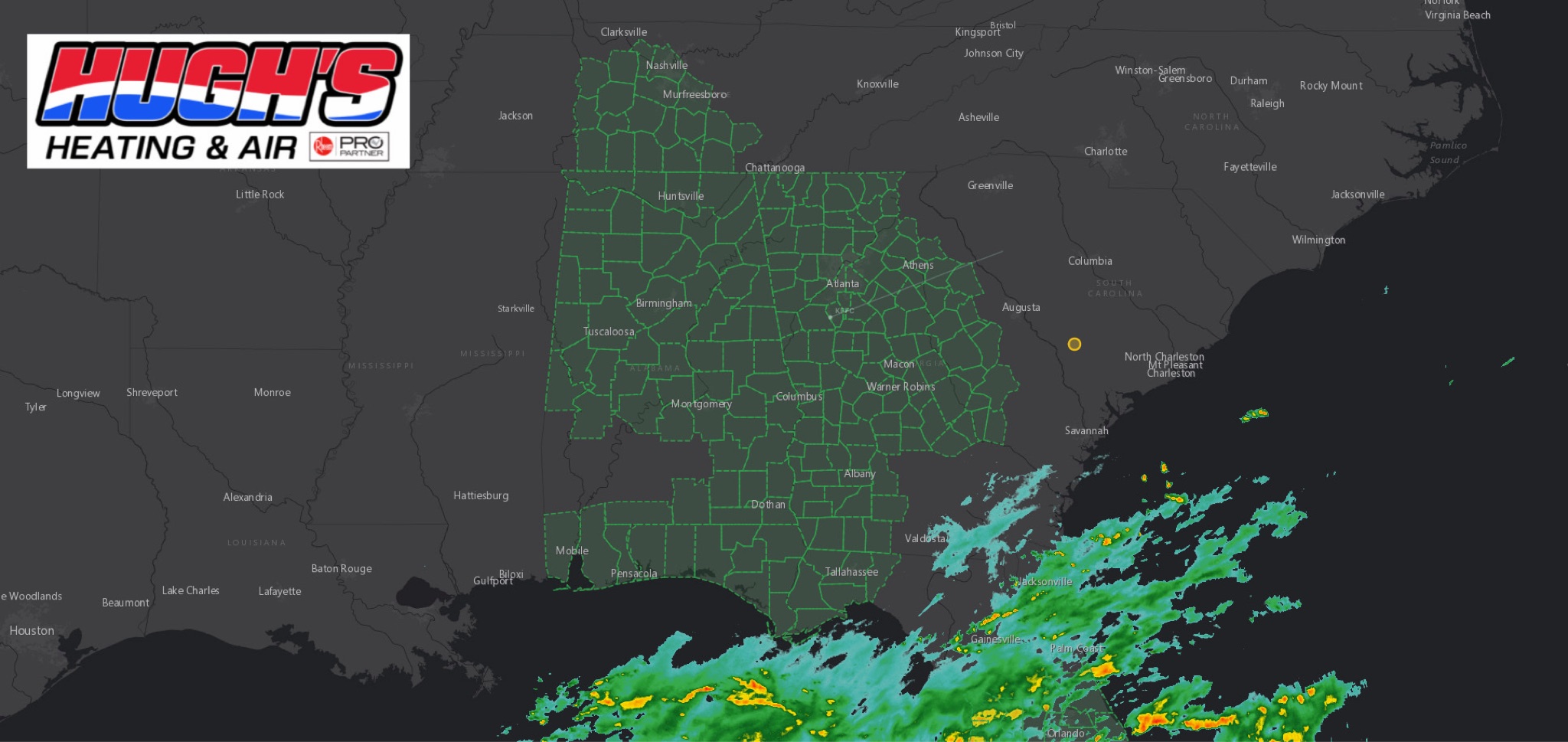 WeatherFLOOD WATCH issued across East Alabama and West Georgia ahead of Hurricane Isaias
 WeatherBREAKING: TROPICAL STORM WARNING EXPANDS ACROSS EAST ALABAMA AND WEST GEORGIA AS HURRICANE ISAIAS APPROACHES
 WeatherBREAKING: Tropical Storm Watch Issued for East Alabama as Hurricane Isaias approaches