






Hurricane Isaias strengthens to 104MPH in 11 p.m. advisory; East Alabama and West Georgia face flooding, wind, tornado threats
 LIVE NOW
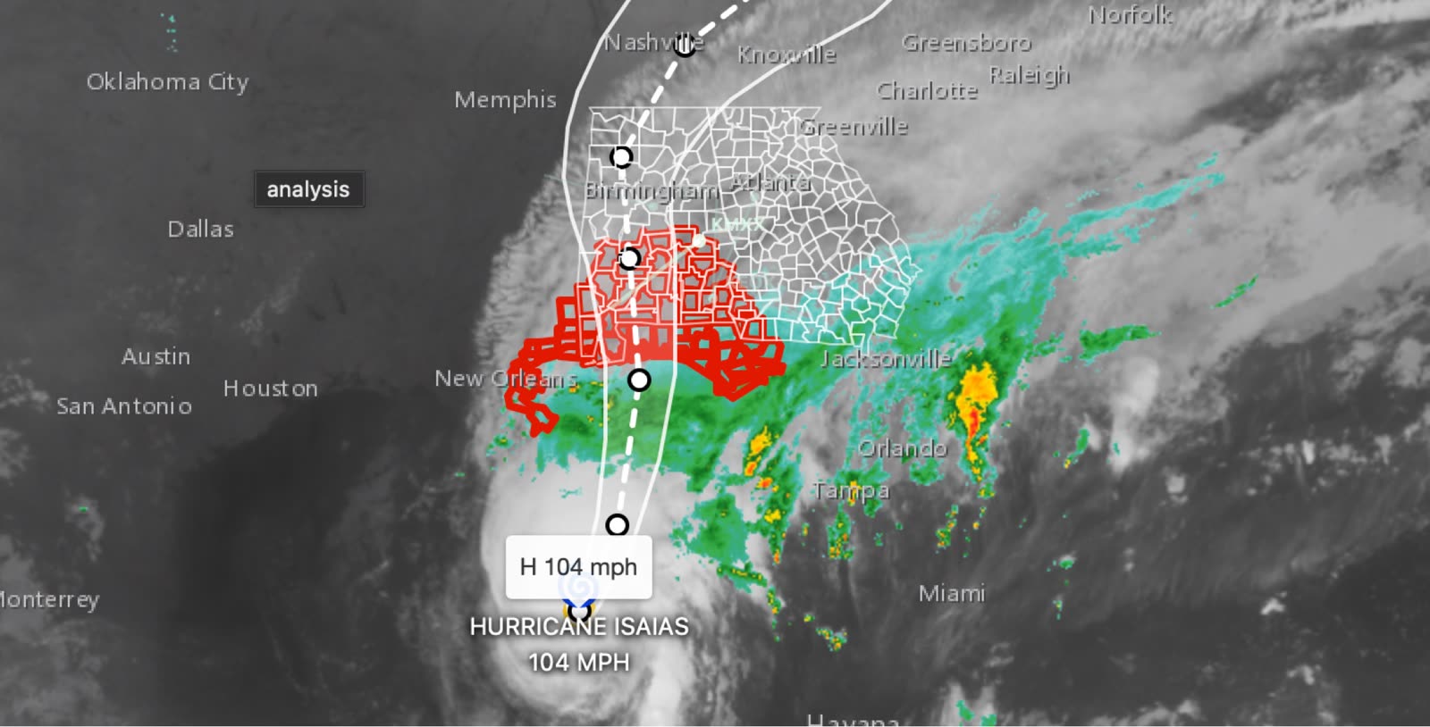
- Hurricane Isaias strengthens to 104 mph winds; landfall expected late Friday or early Saturday near northern Gulf Coast.
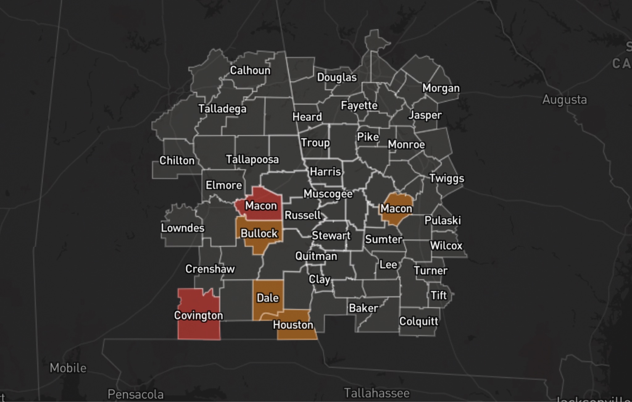
- East Alabama and West Georgia face damaging winds, flooding, storm surge, and isolated tornado threats this weekend.
Hurricane Isaias continues to pose a significant threat to the northern Gulf Coast, with the National Hurricane Center's 11 p.m. Thursday advisory highlighting the potential for damaging winds, life-threatening storm surge and heavy rainfall across portions of the Southeast.
According to the advisory graphics, Isaias has maximum sustained winds of 104 mph as it moves toward the northern Gulf Coast, where landfall is expected late Friday or early Saturday.
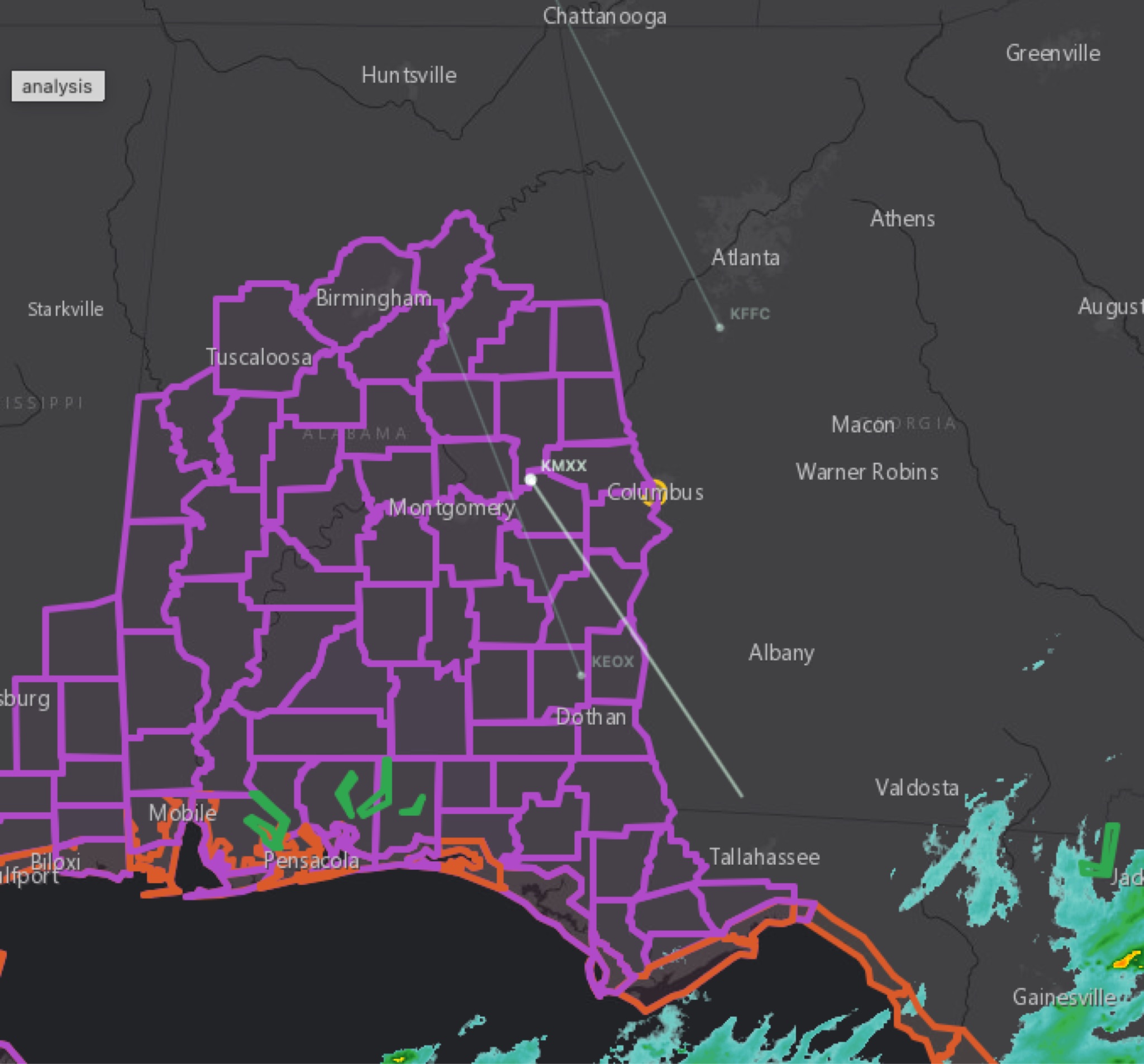
The National Hurricane Center warns that damaging wind gusts are possible across much of central and northern Alabama, extreme eastern Mississippi, and portions of western and northern Georgia, especially in higher-terrain areas. Residents should prepare for possible power outages, secure loose outdoor items and use caution when traveling in high-profile vehicles.
Flooding is another major concern as heavy rainfall spreads inland Friday and continues through the weekend. Flash flooding, urban flooding and significant river flooding are possible in parts of the Southeast.
For East Alabama and West Georgia, the forecast also calls for the possibility of isolated tornadoes on Saturday. Residents should have multiple ways to receive weather alerts and know where they will shelter if a Tornado Warning is issued.
Along the Gulf Coast, a life-threatening storm surge is expected in areas under a Storm Surge Warning. Residents in those areas should follow local officials' instructions and evacuate if ordered.
Residents across the CNAW2News coverage area are urged to monitor updates from the National Weather Service and local emergency management agencies as the forecast evolves.
CNAW2News.com will continue tracking Hurricane Isaias and its potential impacts across East Alabama and West Georgia.
Related stories
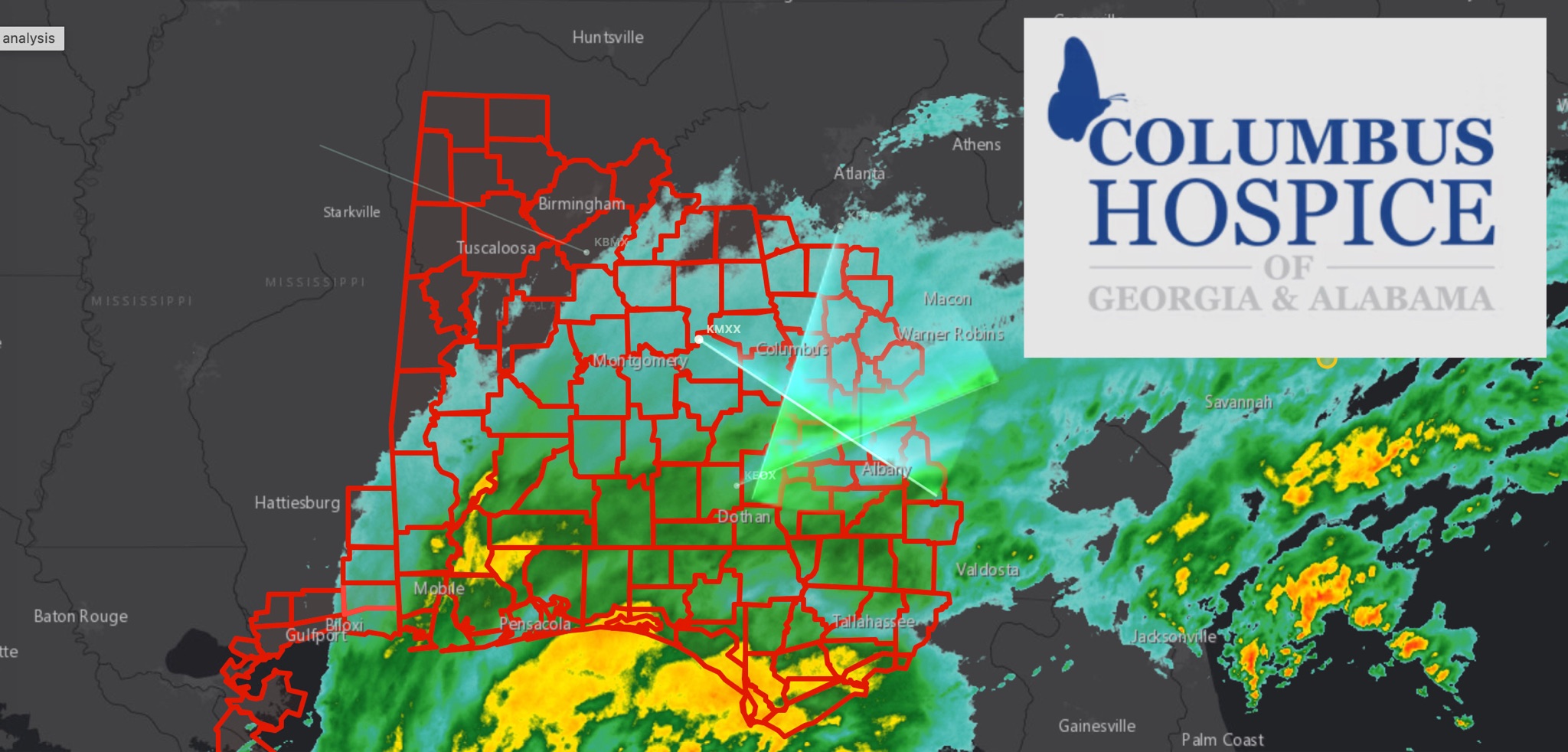 WeatherBREAKING: TROPICAL STORM WARNING EXPANDS ACROSS EAST ALABAMA AND WEST GEORGIA AS HURRICANE ISAIAS APPROACHES
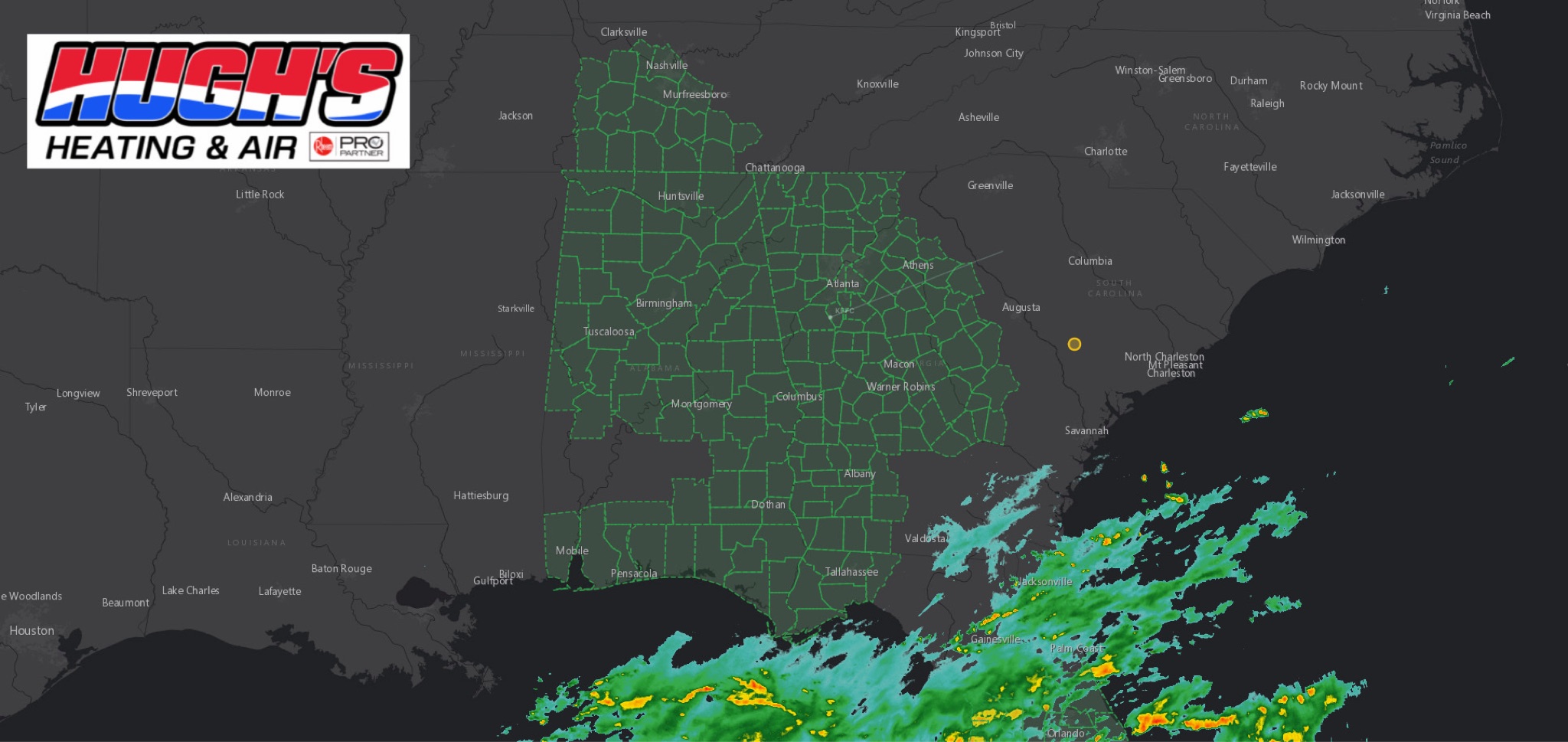 WeatherFLOOD WATCH issued across East Alabama and West Georgia ahead of Hurricane Isaias
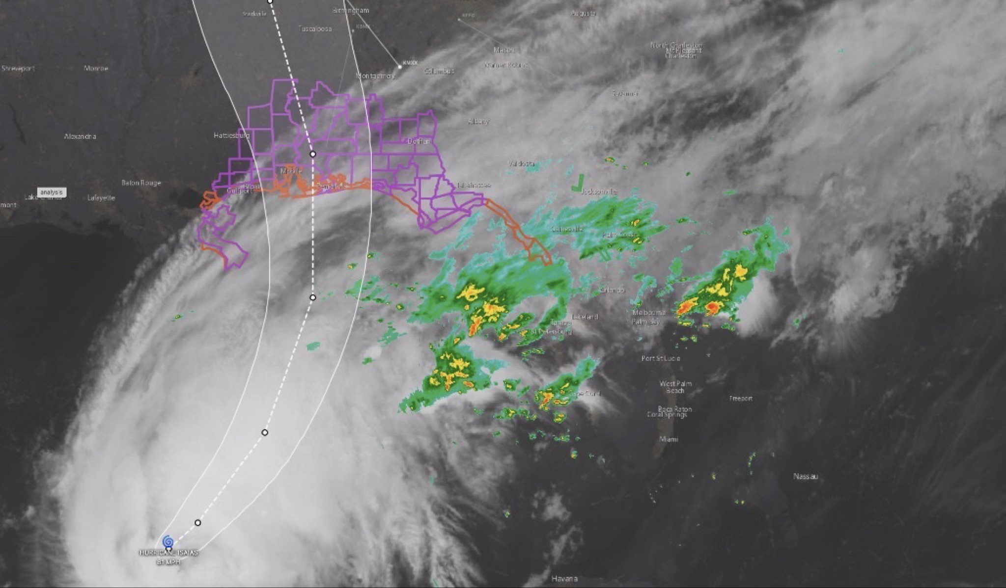 WeatherHURRICANE ISAIAS: East Alabama and West Georgia brace for heavy rain, strong winds and tornado threat
 WeatherHURRICANE ISAIAS: POWER OUTAGES REPORTED ACROSS ALABAMA AND GEORGIA
 WeatherBREAKING: Tropical Storm Watch Issued for East Alabama as Hurricane Isaias approaches