






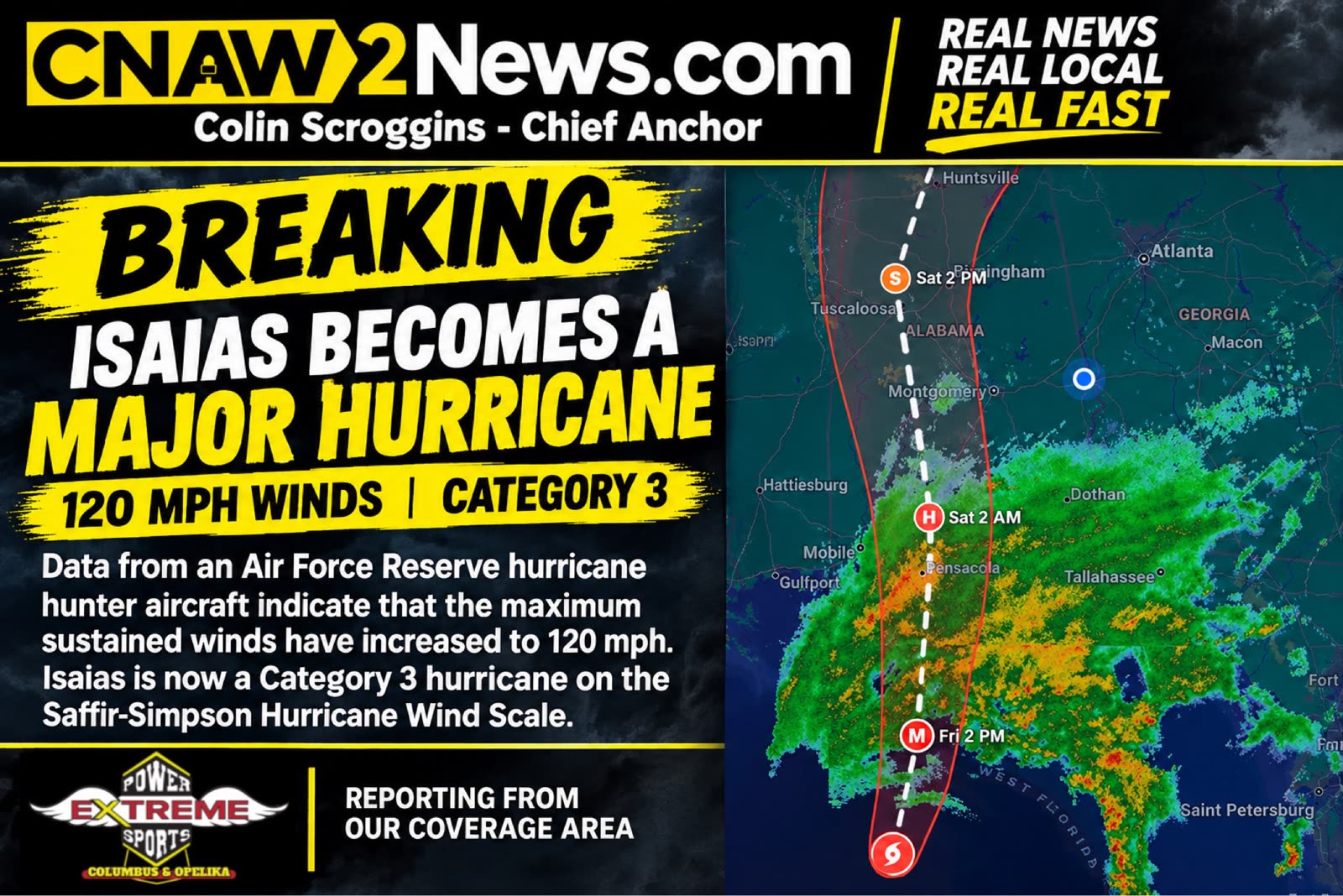
HURRICANE ISAIAS STRENGTHENS INTO A MAJOR CATEGORY 3 HURRICANE WITH 120 MPH WINDS
 LIVE NOW
- Hurricane Isaias strengthened to Category 3 with 120 mph winds, located 240 miles south of Pensacola.
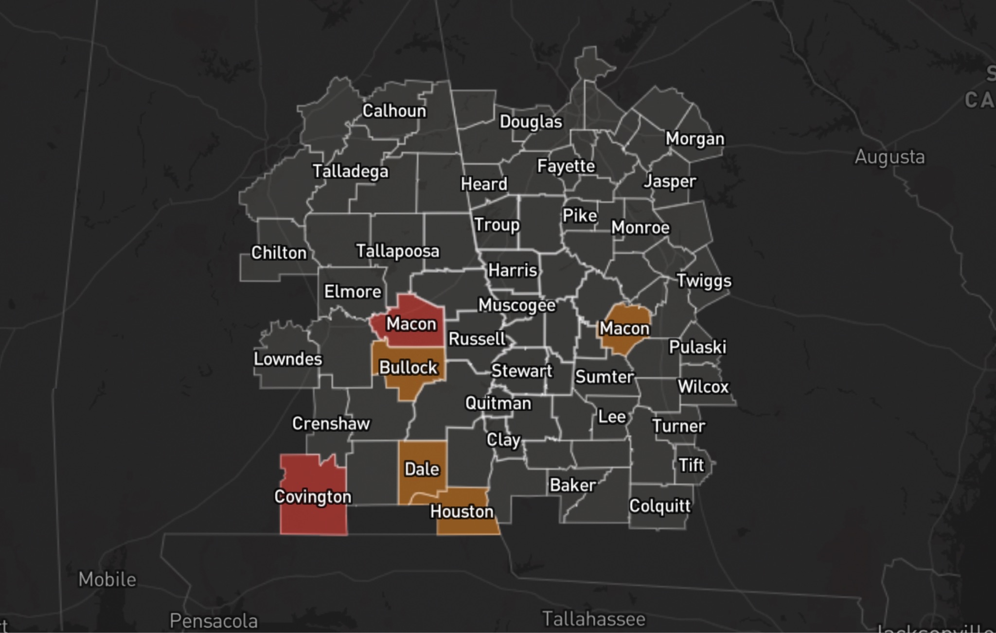
- East Alabama and West Georgia face heavy rain, flooding, and tornado threats as storm moves inland.
Hurricane Isaias has strengthened into a major Category 3 hurricane, with maximum sustained winds reaching 120 mph, according to a 7:20 a.m. Friday update from the National Hurricane Center.
New data from an Air Force Reserve Hurricane Hunter aircraft confirmed the storm's intensification. The aircraft also measured a minimum central pressure of 959 millibars, another indication of the hurricane's strength.
As of 7:20 a.m. CDT Friday, Isaias was located near 27.0 degrees north latitude and 87.6 degrees west longitude, approximately 240 miles south of Pensacola, Florida, and 170 miles south-southeast of the mouth of the Mississippi River. The storm was moving north-northeast at 15 mph.
The National Hurricane Center expects Isaias to approach the northern Gulf Coast Friday, with landfall forecast Friday night or early Saturday. Although some weakening is possible before landfall, forecasters expect the storm to remain dangerous.
EAST ALABAMA AND WEST GEORGIA FACE HEAVY RAIN, FLOODING AND TORNADO THREATS
As Isaias moves inland, East Alabama and West Georgia could experience heavy rainfall, gusty winds, power outages and possible tornadoes.
The National Hurricane Center has warned that flash flooding, urban flooding and river flooding are possible across the Southeast. The tornado threat is expected to continue Saturday across parts of eastern Alabama and Georgia.
Residents should monitor local National Weather Service alerts, secure loose outdoor items, prepare for possible power outages and identify a safe place to shelter if a tornado warning is issued.
Never drive through flooded roadways. Turn around and find another route.
CNAW2News.com will continue tracking Hurricane Isaias and providing updates on potential impacts across East Alabama and West Georgia as new information becomes available.
Related stories
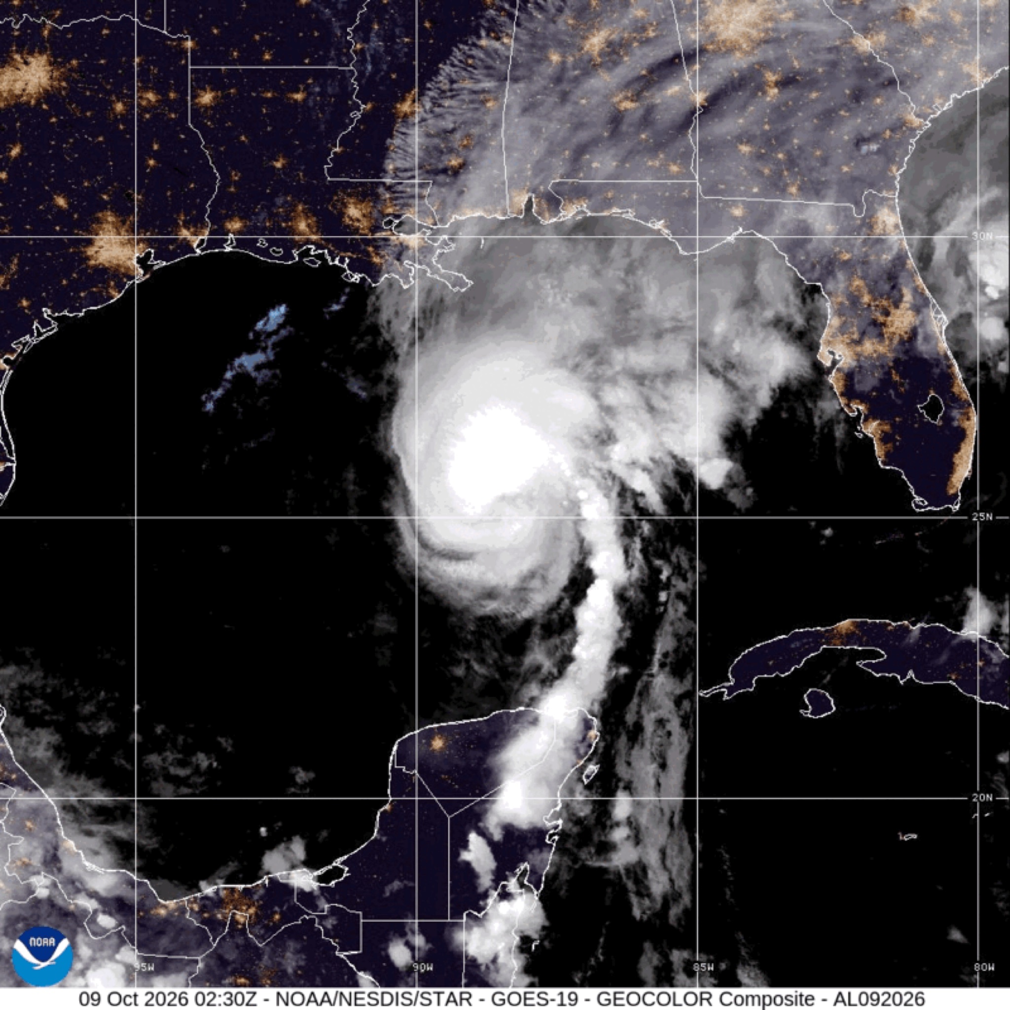 WeatherBREAKING: Hurricane Isaias strengthens to 110 MPH; major hurricane possible before landfall
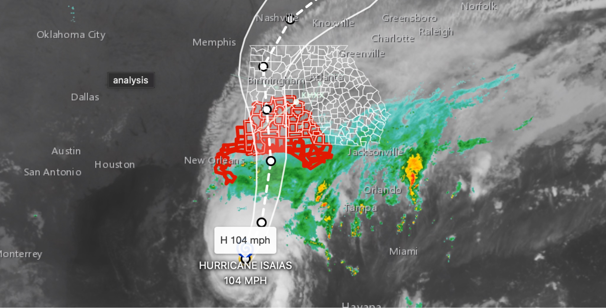 WeatherBREAKING: Hurricane Isaias strengthens to 104MPH in 11 p.m. advisory; East Alabama and West Georgia face flooding, wind, tornado threats
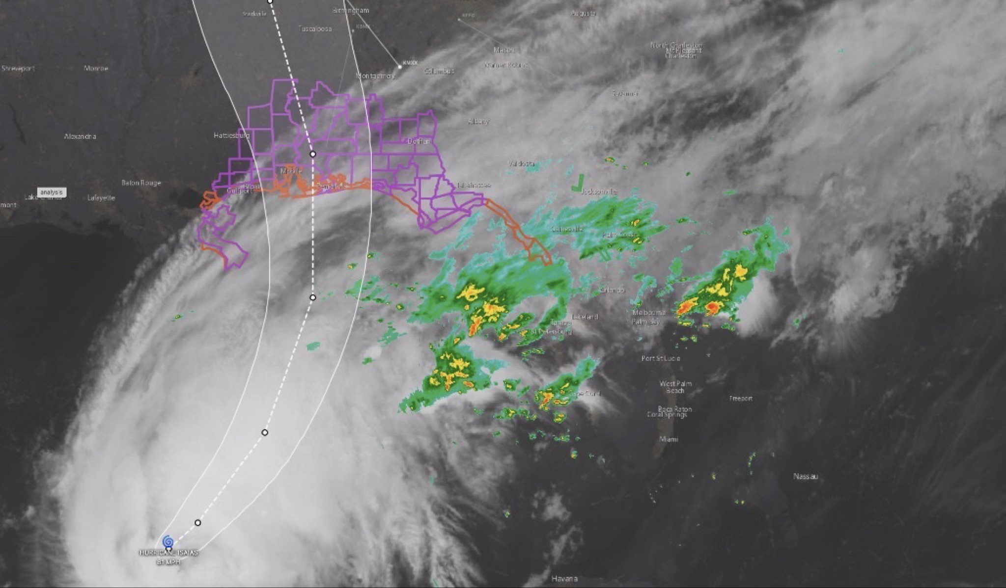 WeatherHURRICANE ISAIAS: East Alabama and West Georgia brace for heavy rain, strong winds and tornado threat
 WeatherBREAKING: Two alabamians dead following Hurricane Isaias as storm recovery efforts continue
 WeatherHURRICANE ISAIAS: POWER OUTAGES REPORTED ACROSS ALABAMA AND GEORGIA