






Severe storms possible tonight into tomorrow morning across East Alabama, West Georgia
 LIVE NOW
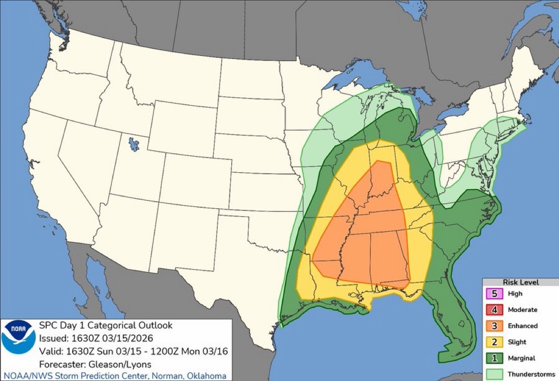
- Strong to severe thunderstorms expected Sunday night into Monday morning across East Alabama and West Georgia with damaging winds.
- Primary threats include 50-65 mph winds, potential tornadoes, and power outages; residents advised to have multiple warning alert methods.
Strong to severe thunderstorms are expected to move across the Chattahoochee Valley Sunday night into Monday morning.
According to the Storm Prediction Center, parts of the Southeast face a risk for severe weather through early Monday morning. Much of east Alabama and west Georgia is currently under a Enhanced Risk for severe storms, including counties in the Chattahoochee Valley such as Barbour Chambers, Lee, Macon, Russell and Tallapoosa counties – and across the river in Chattahoochee, Harris, Muscogee and Troup counties.
Forecasters say the main threat will come from a line of thunderstorms expected to develop along a cold front and move across Alabama into Georgia during the evening and overnight hours.
The primary hazard will be damaging straight-line winds, with gusts potentially reaching 50 to 65 mph. Winds of this strength can bring down trees and power lines, which may lead to scattered power outages and hazardous travel conditions.
There is also a risk for tornadoes, particularly within the squall line itself. These tornadoes can develop quickly and may be difficult to spot at night. The Storm Prediction Center notes that a few stronger tornadoes could develop late tonight across eastern Alabama into adjacent parts of Georgia if isolated storms form ahead of the main line.
Storm timing across the coverage area is expected mainly this evening through the overnight hours. Western portions of Alabama could see storms first during the late afternoon or early evening, with the line reaching east Alabama and west Georgia during early Monday morning.
Residents across east Alabama and west Georgia are encouraged to stay weather aware tonight, especially since storms may occur while many people are sleeping. Having multiple ways to receive warnings, such as weather alerts on mobile devices or NOAA weather radios, is strongly recommended.
Related stories
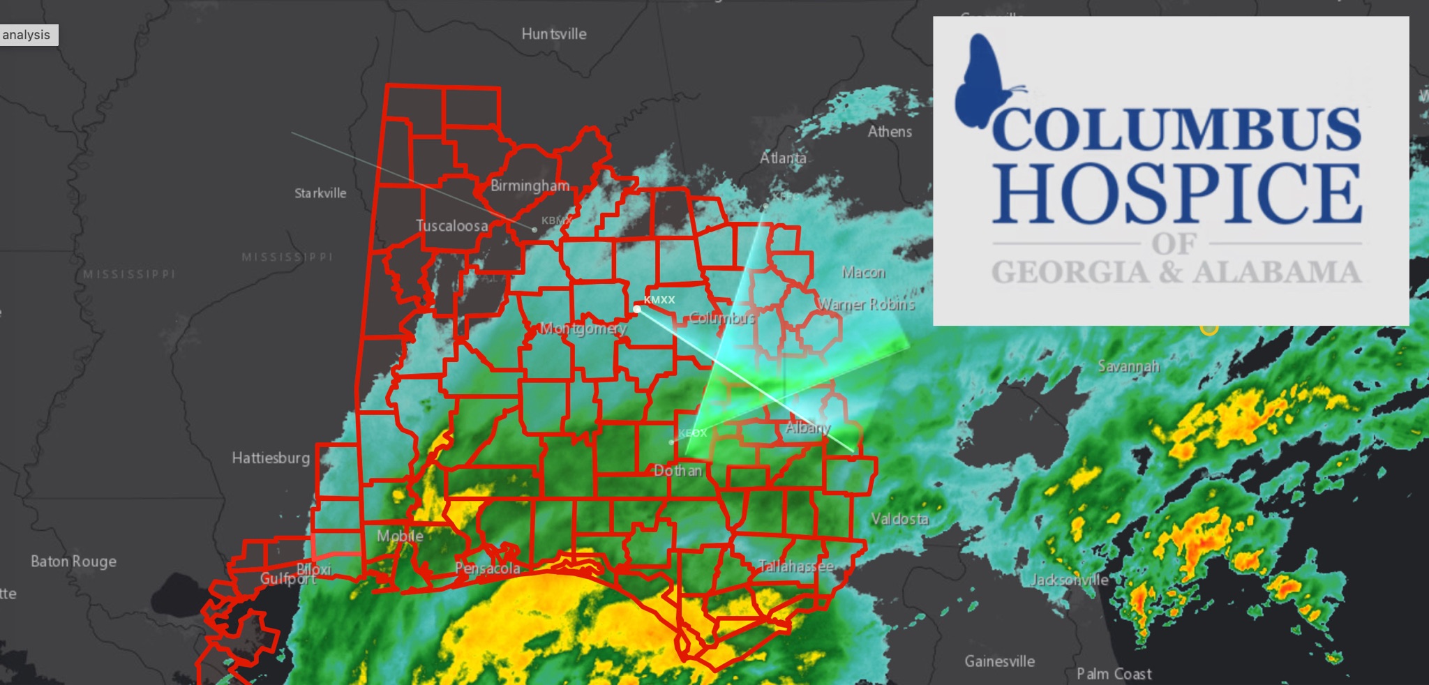 WeatherBREAKING: TROPICAL STORM WARNING EXPANDS ACROSS EAST ALABAMA AND WEST GEORGIA AS HURRICANE ISAIAS APPROACHES
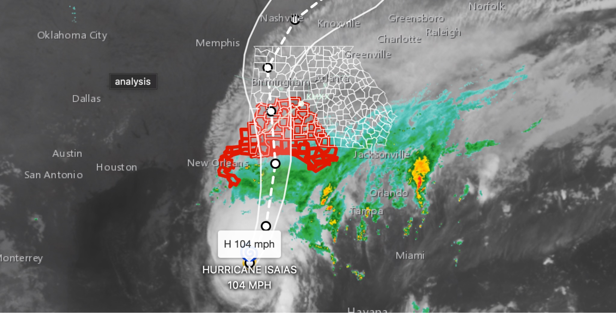 WeatherBREAKING: Hurricane Isaias strengthens to 104MPH in 11 p.m. advisory; East Alabama and West Georgia face flooding, wind, tornado threats
 WeatherFLOOD WATCH issued across East Alabama and West Georgia ahead of Hurricane Isaias
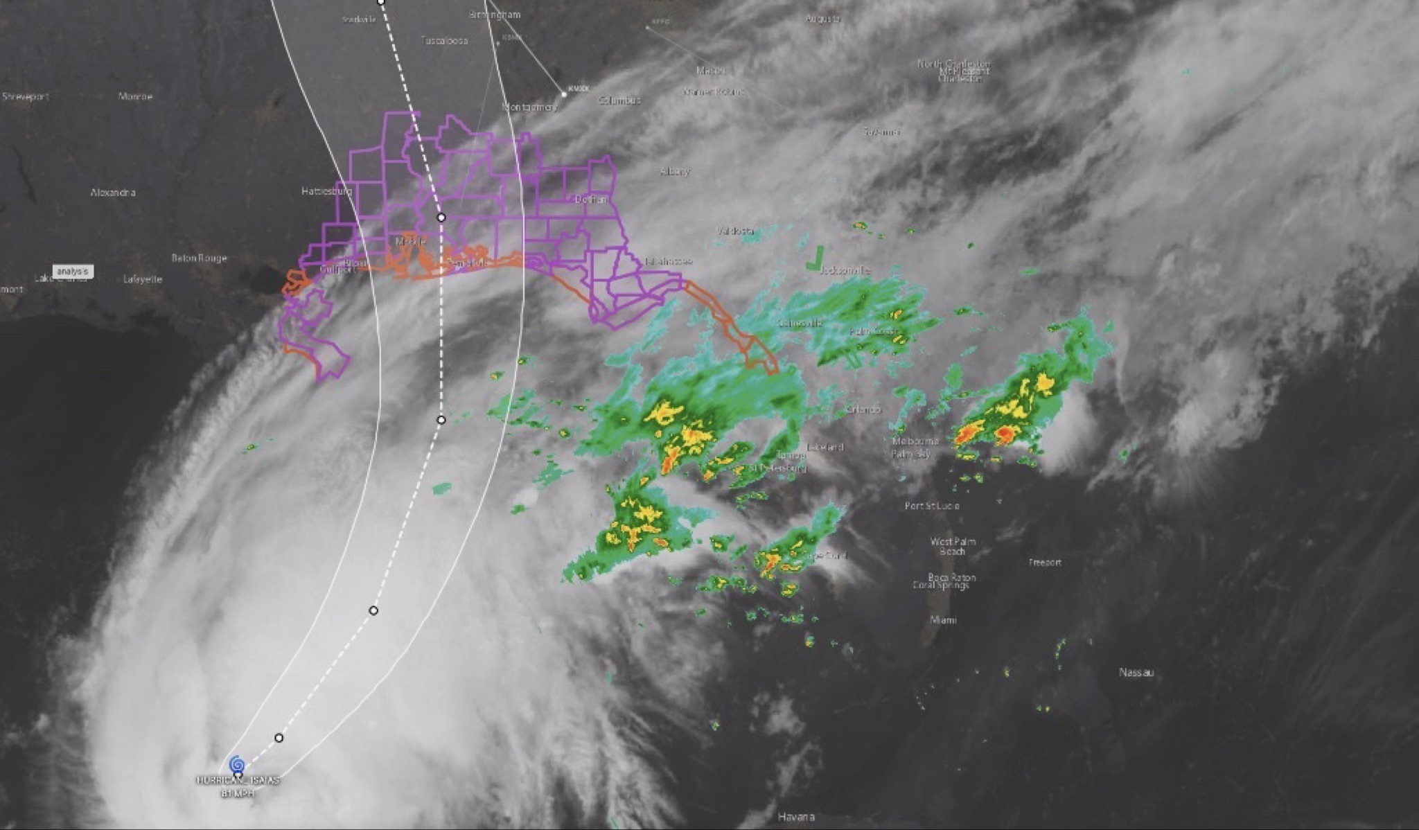 WeatherHURRICANE ISAIAS: East Alabama and West Georgia brace for heavy rain, strong winds and tornado threat
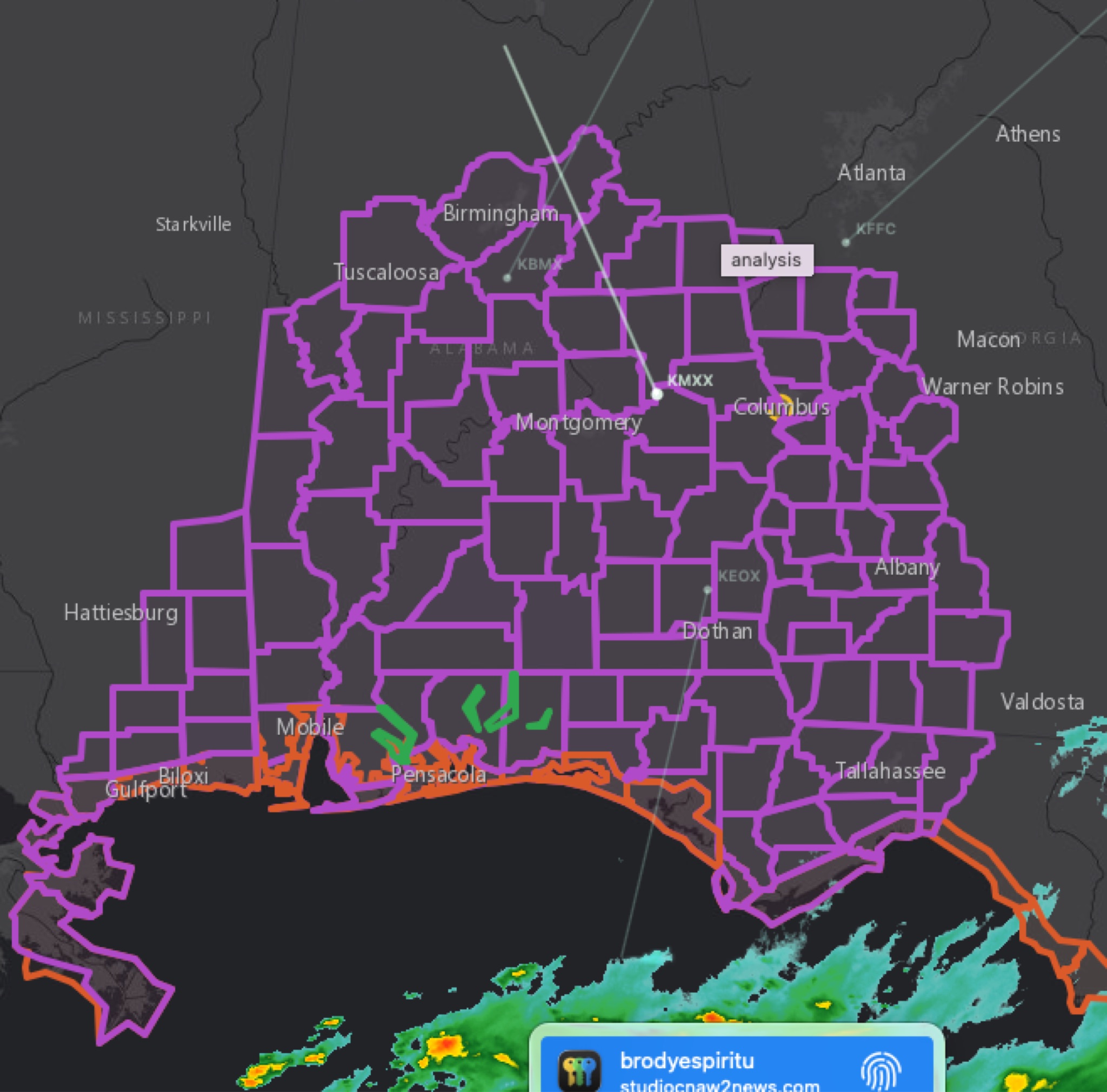 WeatherBREAKING WEATHER UPDATE: TROPICAL STORM WATCH EXPANDS INTO WEST GEORGIA