



Severe weather expected this weekend; state of emergency issued
 LIVE NOW
This weekend, severe weather is expected across the southeast, including our coverage area in East Alabama and West Georgia.
The National Weather Service (NWS) has issued a moderate risk and enhanced risk for our coverage area due to the potential of long-track tornadoes, damaging and straight-line winds, and hail during the evening hours on Saturday, March 15, 2025, into the morning hours on Sunday, March 16, 2025. A high risk has been placed over central Alabama and west Mississippi. This is only the third time since at least 2006 that a High Risk has been issued on Day 2 Outlook.
We ask viewers to not get caught up on the colors as everyone will see the same risk: potential for significant tornadoes, large hail, straight-line/damaging winds, and strong thunderstorms.
PREPARE
Local and state authorities have been closely monitoring the severe weather and asks the public to prepare for the severe weather.
Stay Informed: Keep a battery-powered weather radio, or use a smartphone app, to monitor updates from local weather authorities and the NWS.
Prepare for Power Outages: Charge electronic devices ahead of time and make sure flashlights are working.
Have a Plan: If a tornado warning is issued, seek shelter immediately in a basement or interior room on the lowest level of your home. Avoid windows. Also, prepare an emergency kit.
Drive Safely: Avoid driving during the worst of the storms.
NWS Birmingham and their latest statement:
When we look at severe weather potential, specifically tornadoes, we look for instability (energy), wind shear (turning of the winds at low levels AND differences in speed between the low levels, and the upper levels), LCL heights (how high the base of the cloud will be), hodograph shape, and many other things. Every single parameter is there Saturday afternoon. Every single one. Some of these parameters are strong, some are very strong.
This will be a very scary situation for many. We have a flooding threat, very large hail threat, severe damaging wind threat, and the potential for long track tornadoes. By the way, weaker tornadoes (EF0-EF1) are not considered “strong, long-tracked”.
The atmosphere is so strong, there isn’t a whole lot that will weaken it. The continued activity in the northwest MAY overproduce in rainfall, which may limit the severe threat in the far northwest, but that won’t be the case for much of the area.
Please take this seriously and please do what you can. Please be safe. Do the absolute most to keep you, your family, your pets, and those around you safe. Please don’t panic, but be ready. Be prepared.
Today, Alabama Governor Kay Ivey issued a State of Emergency ahead of the extreme severe weather. For details, click here.
For more information, stay tuned to your EMA officials, NWS Weather Alerts at http://www.weather.gov, Alabama Emergency Management Agency at http://www.ema.alabama.gov, and Georgia Emergency Management Agency at http://www.gema.ga.gov.
Related stories
 WeatherFLOOD WATCH issued across East Alabama and West Georgia ahead of Hurricane Isaias
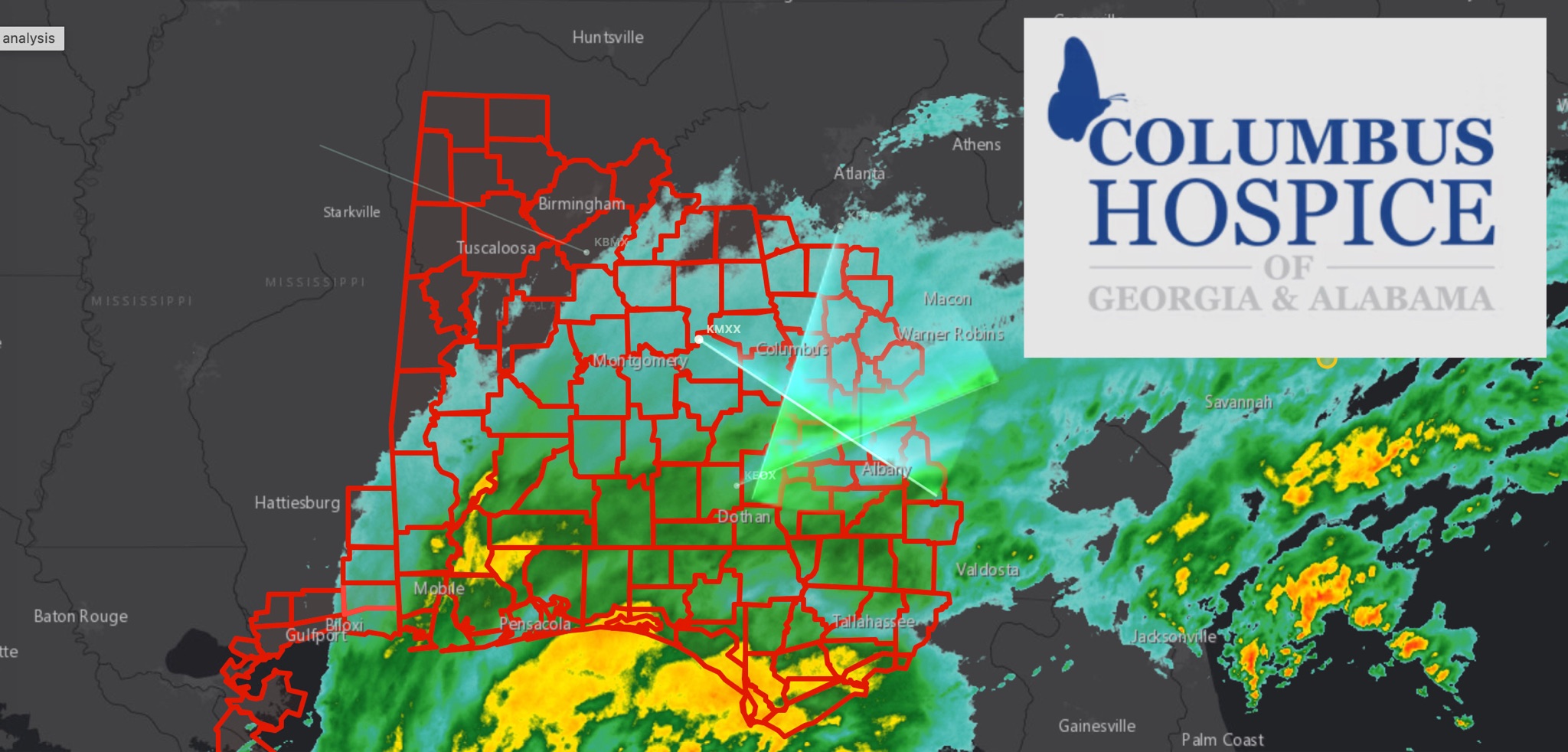 WeatherBREAKING: TROPICAL STORM WARNING EXPANDS ACROSS EAST ALABAMA AND WEST GEORGIA AS HURRICANE ISAIAS APPROACHES
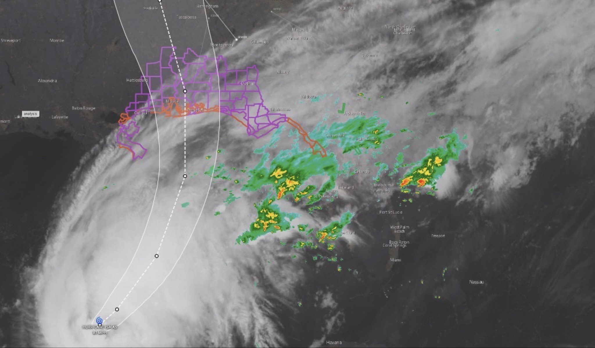 WeatherHURRICANE ISAIAS: East Alabama and West Georgia brace for heavy rain, strong winds and tornado threat
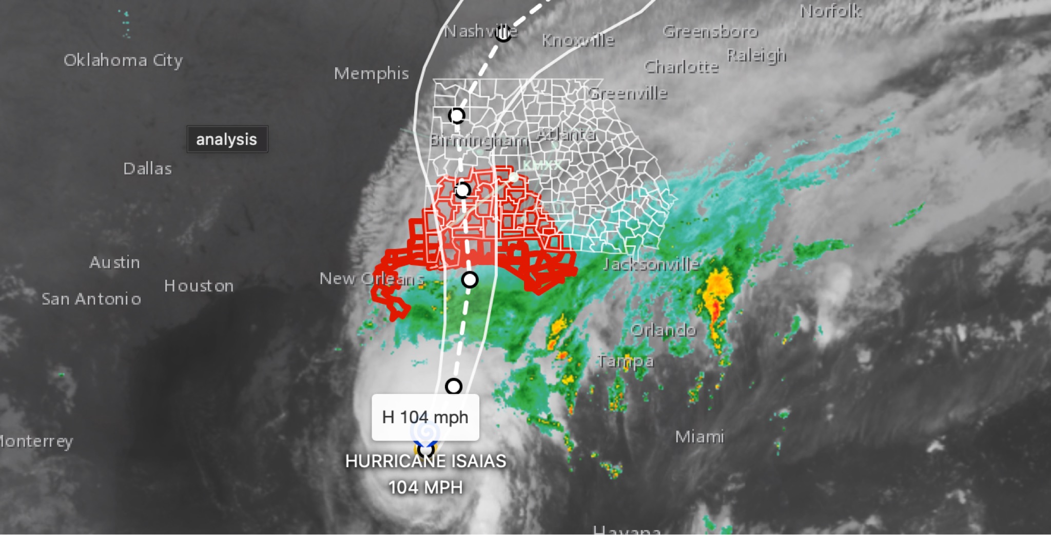 WeatherBREAKING: Hurricane Isaias strengthens to 104MPH in 11 p.m. advisory; East Alabama and West Georgia face flooding, wind, tornado threats
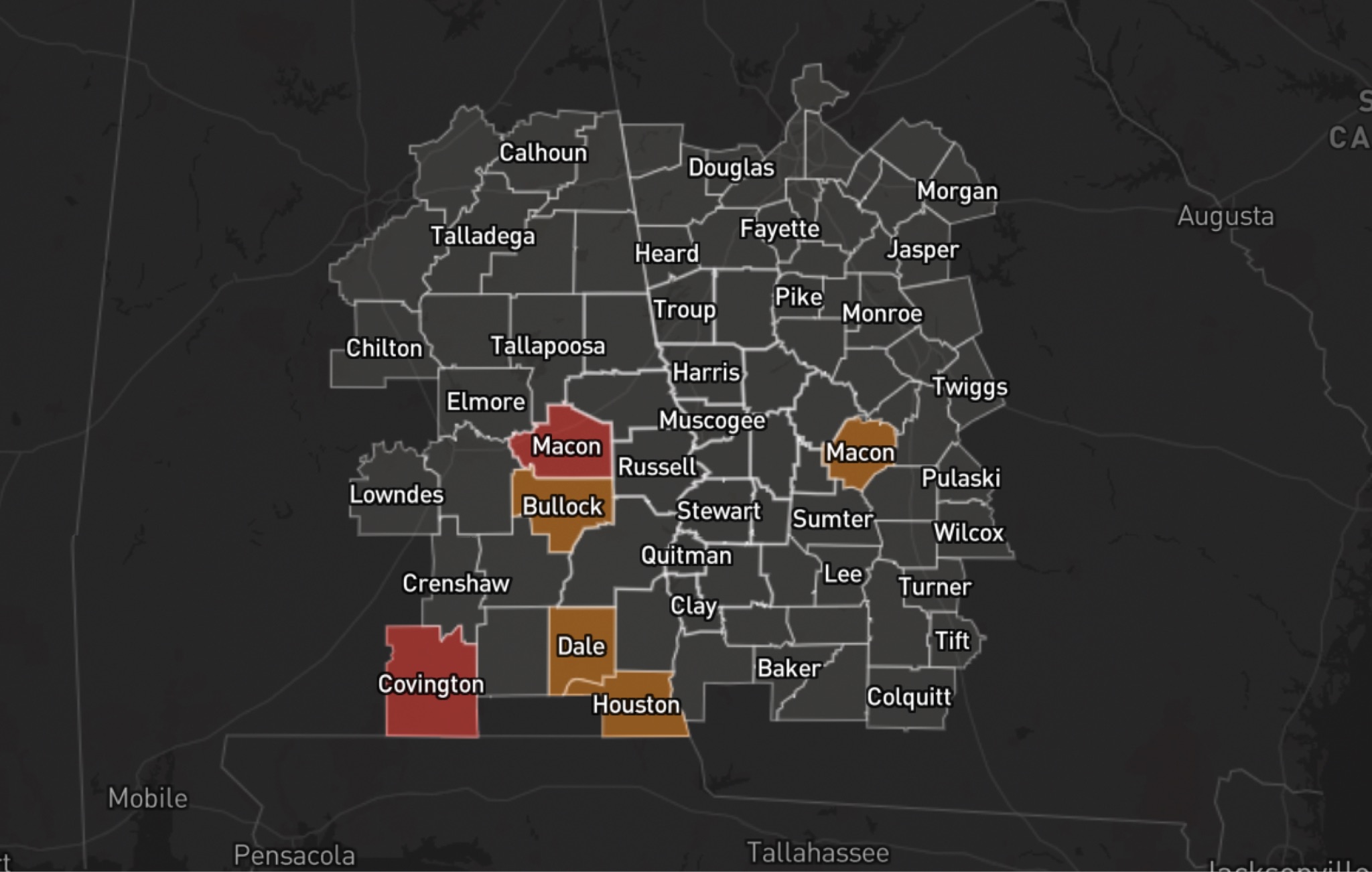 WeatherHURRICANE ISAIAS: POWER OUTAGES REPORTED ACROSS ALABAMA AND GEORGIA