






Storms possible across East Alabama and West Georgia Wednesday
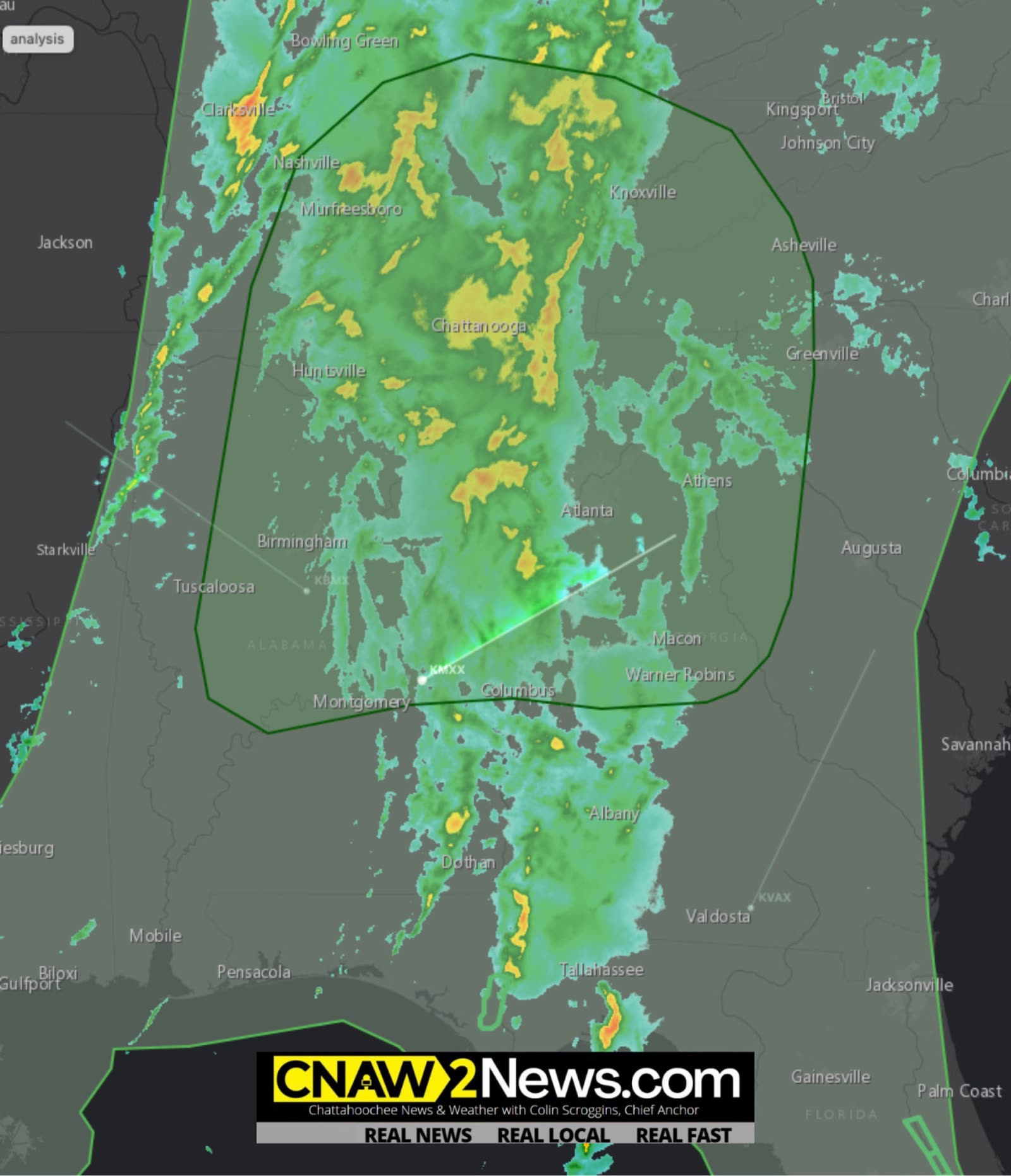 LIVE NOW
- Level 1 severe thunderstorm risk Wednesday afternoon/evening with damaging winds up to 60 mph and isolated tornado possibility.
- Showers and thunderstorms expected across East Alabama and West Georgia with localized flooding risk; conditions vary by county.
Showers and thunderstorms are expected across parts of East Alabama and West Georgia on Wednesday, with forecasters warning that a few storms could produce strong wind gusts and localized flooding.
The National Weather Service in Birmingham has identified a Level 1 out of 5 risk for severe thunderstorms across portions of central Alabama Wednesday afternoon and evening. The primary threats are damaging wind gusts of up to 60 mph and a low chance for an isolated, brief tornado. The risk period shown on the agency’s graphic is from 3 p.m. until midnight.
For CNAW2News’ East Alabama coverage area, including Lee, Russell, Chambers and Barbour counties, residents should monitor local forecasts as showers and thunderstorms move through the region. The central Alabama risk map does not mean all four counties are under the same severe weather risk.
In West Georgia, including Muscogee, Harris, Troup and Chattahoochee counties, the National Weather Service in Peachtree City expects widespread showers and scattered thunderstorms today into tonight. Forecasters say an isolated strong storm capable of producing strong wind gusts is possible, along with localized flooding in low-lying areas and on roads with poor drainage. Widespread severe weather is not expected across the broader Georgia forecast area.
The main concern for residents across the CNAW2News coverage area is the potential for periods of heavy rain, gusty winds and isolated stronger storms. Conditions may vary from county to county, so residents should pay attention to alerts issued for their specific locations.
The National Weather Service recommends having multiple ways to receive weather alerts, knowing where to seek sturdy shelter and staying informed as the forecast develops.
Residents should move indoors when thunderstorms approach and avoid driving through flooded roadways. If a tornado warning is issued for their location, they should seek shelter in an interior room on the lowest floor of a sturdy building, away from windows.
For the latest weather information, residents can visit weather.gov/bmx for the Birmingham forecast office and weather.gov/ffc for the Peachtree City forecast office.
CNAW2News will continue monitoring weather updates affecting East Alabama and West Georgia.
Related stories
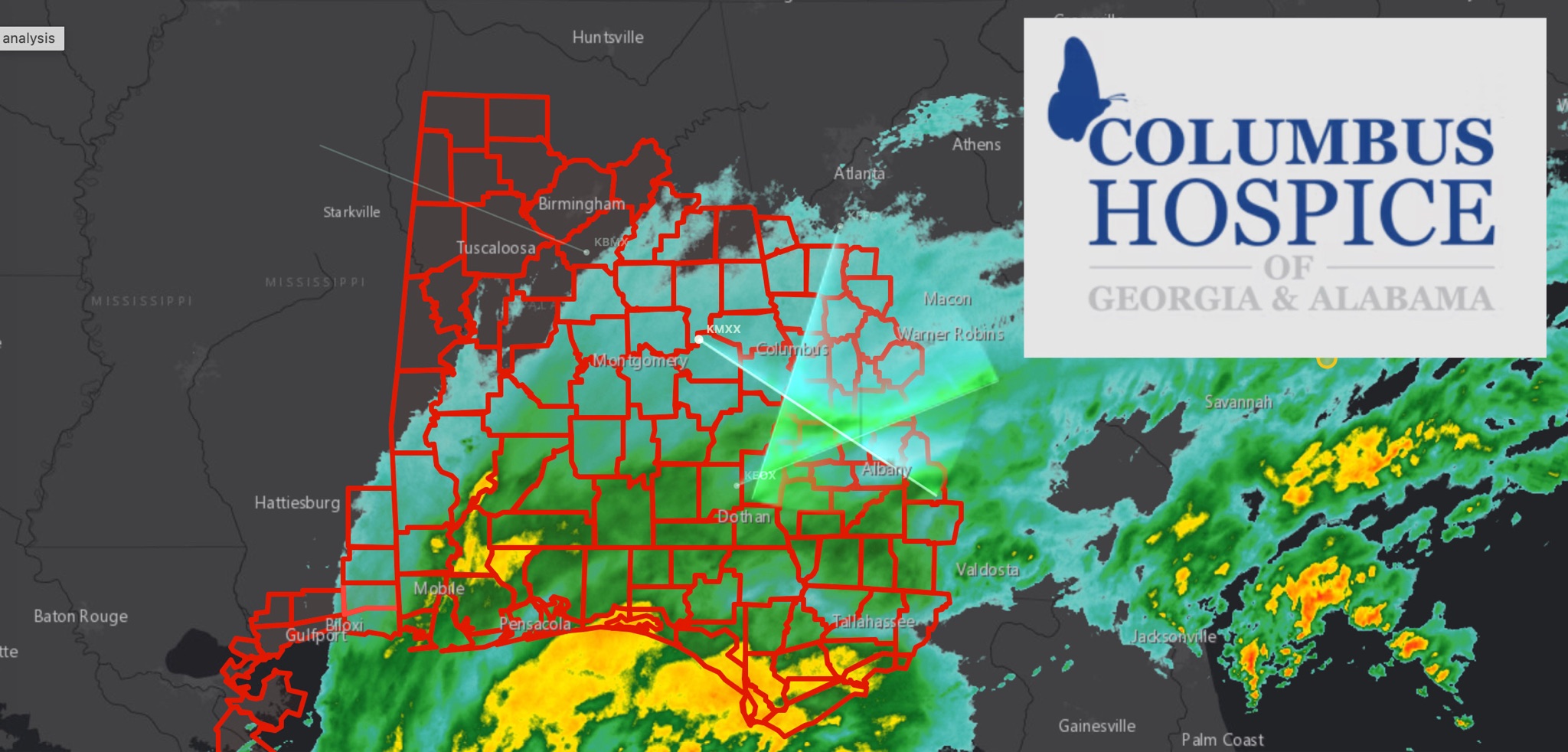 WeatherBREAKING: TROPICAL STORM WARNING EXPANDS ACROSS EAST ALABAMA AND WEST GEORGIA AS HURRICANE ISAIAS APPROACHES
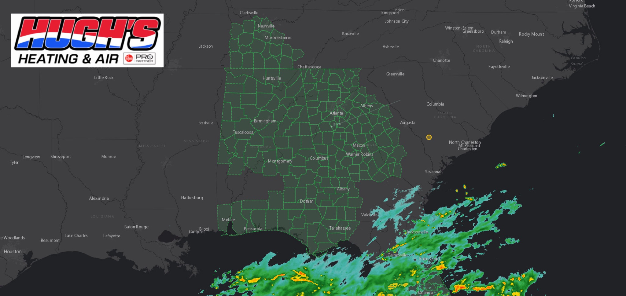 WeatherFLOOD WATCH issued across East Alabama and West Georgia ahead of Hurricane Isaias
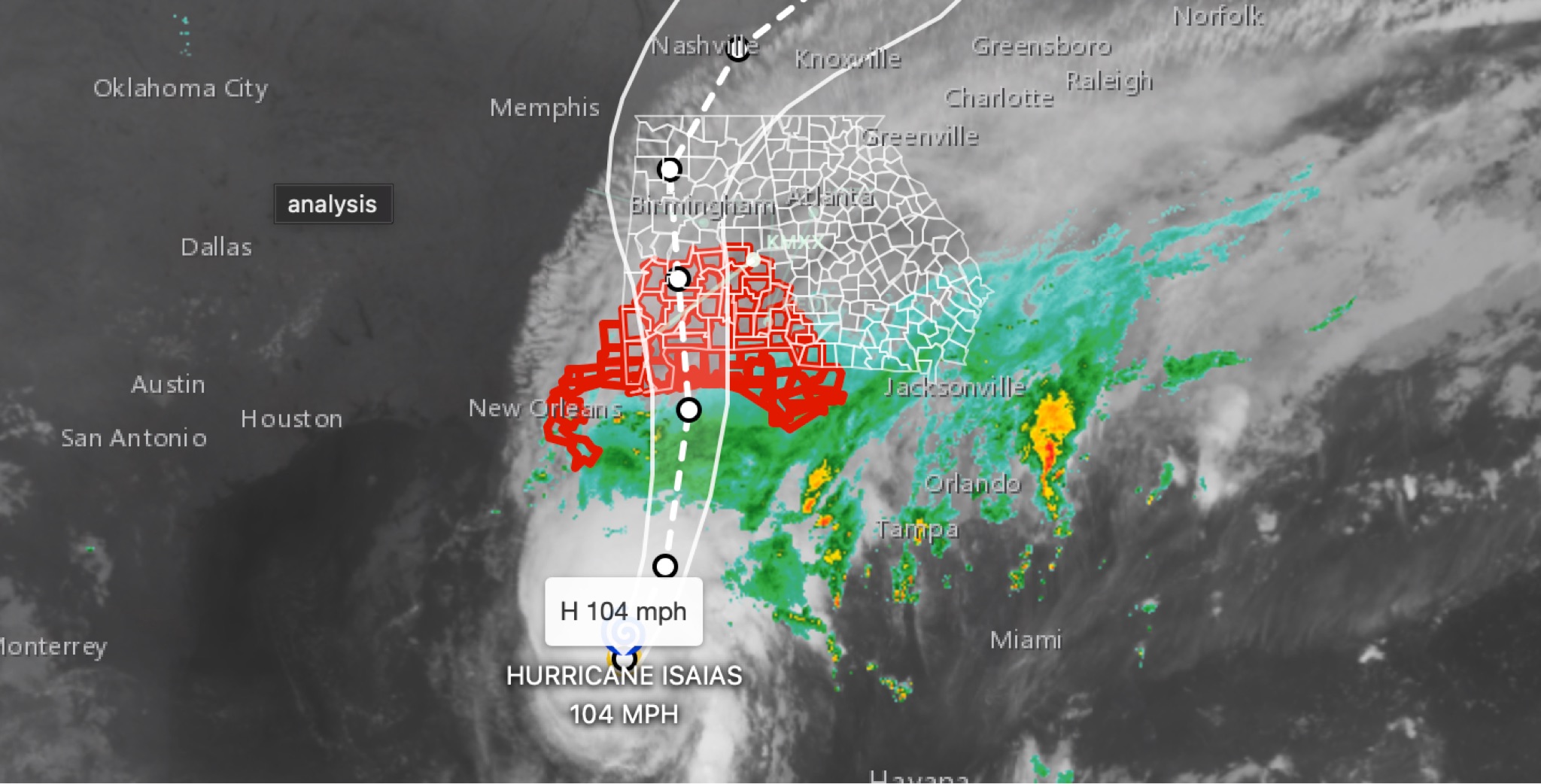 WeatherBREAKING: Hurricane Isaias strengthens to 104MPH in 11 p.m. advisory; East Alabama and West Georgia face flooding, wind, tornado threats
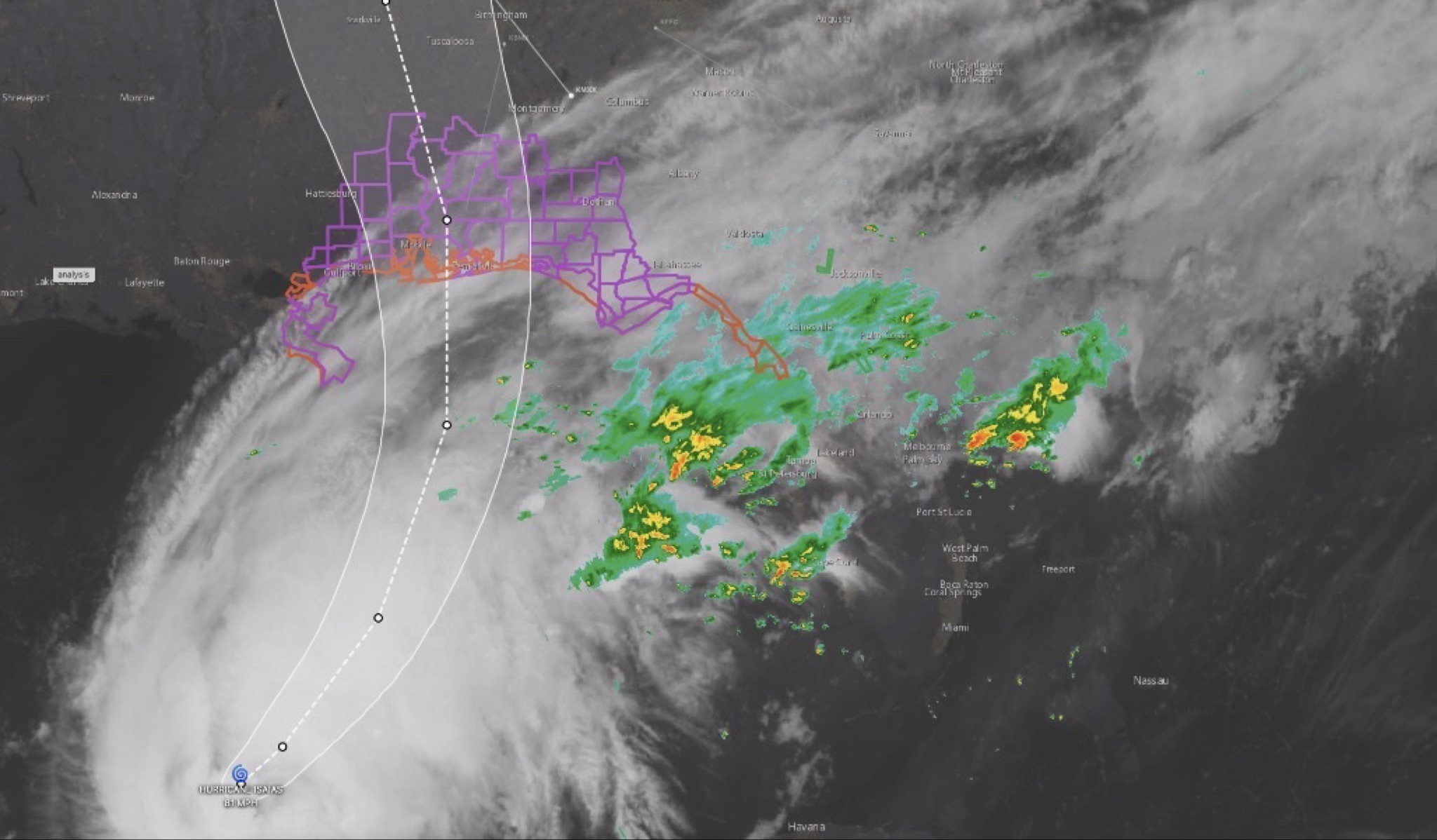 WeatherHURRICANE ISAIAS: East Alabama and West Georgia brace for heavy rain, strong winds and tornado threat
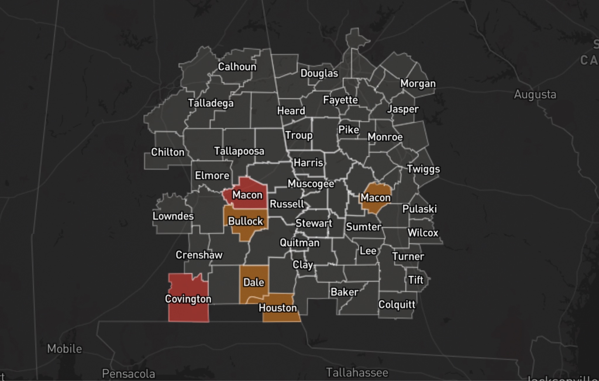 WeatherHURRICANE ISAIAS: POWER OUTAGES REPORTED ACROSS ALABAMA AND GEORGIA