






TROPICAL STORM WARNING EXPANDS ACROSS EAST ALABAMA AND WEST GEORGIA AS HURRICANE ISAIAS APPROACHES
 LIVE NOW
- Tropical Storm Warnings issued for six East Alabama counties and four West Georgia counties as Hurricane Isaias approaches.
- Dangerous conditions expected through Friday and Saturday include damaging winds, heavy rainfall, flash flooding, and possible isolated tornadoes.
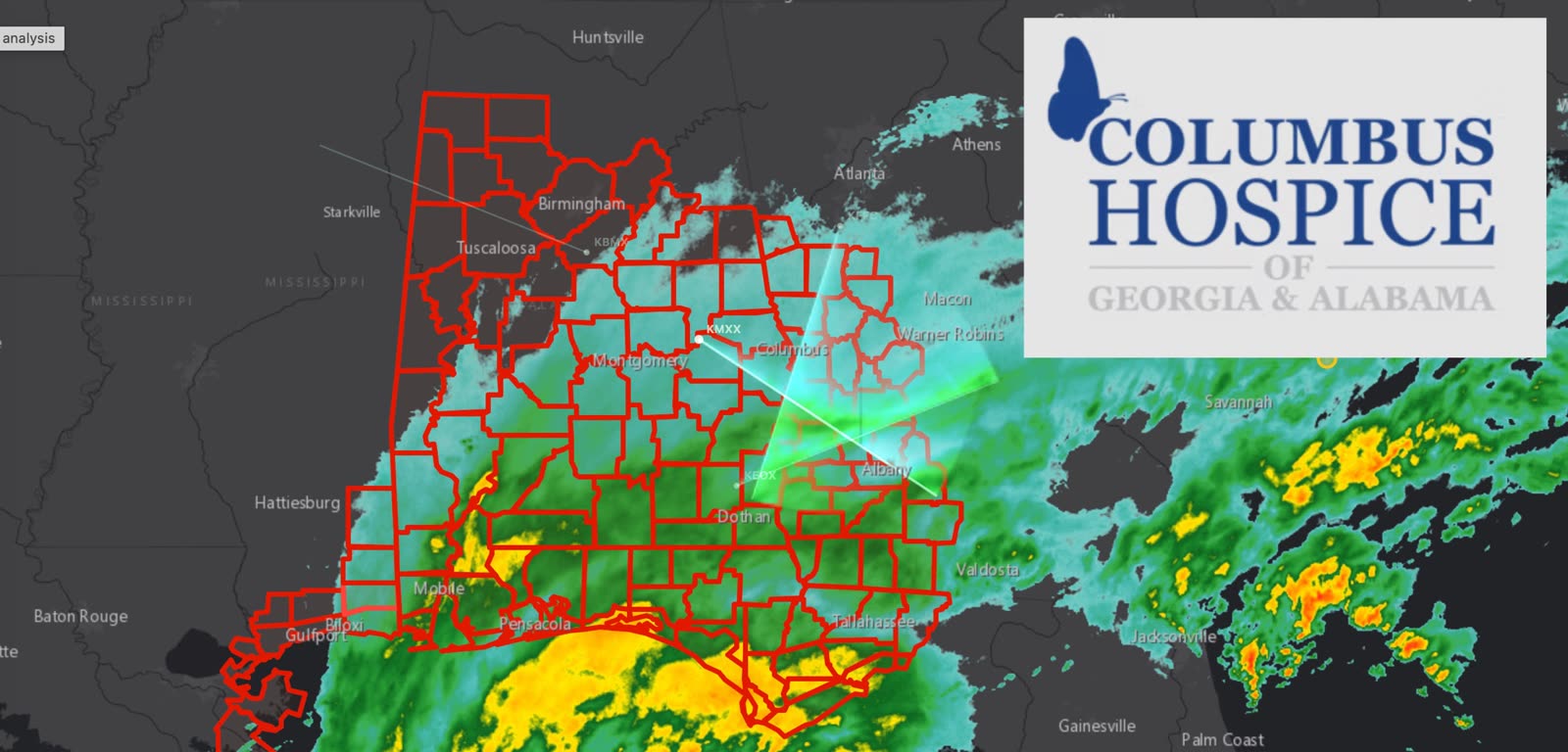
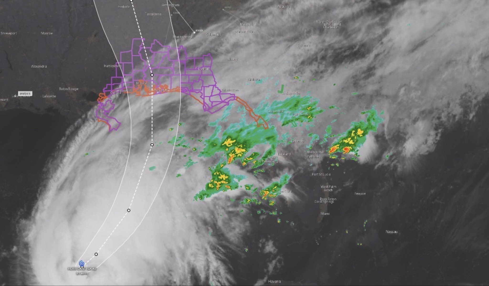
Tropical Storm Warnings are in effect for portions of East Alabama as Hurricane Isaias approaches the northern Gulf Coast, with dangerous weather conditions expected to spread inland through Friday and Saturday.
The National Weather Service has issued Tropical Storm Warnings for all our east Alabama counties in our coverage area, including Chambers, Lee, Russell, Tallapoosa, Macon and Barbour. In West Georgia, Muscogee, Troup, Harris, and Chattahoochee counties are also under tropical storm warning as the storm moves toward the Gulf Coast.
The latest radar imagery shows widespread rain associated with Isaias moving across the Gulf Coast and into portions of Alabama and Georgia.
WHAT EAST ALABAMA AND WEST GEORGIA CAN EXPECT
The primary concerns include:
Damaging wind gusts: Strong winds could down trees and power lines, cause property damage and lead to power outages.
Heavy rainfall and flooding: Several inches of rain are possible, with flash flooding especially concerning in low-lying areas and locations with poor drainage.
Possible tornadoes: Isolated tornadoes could develop as Isaias moves inland, including across parts of East Alabama and Georgia.
The Alabama Emergency Management Agency says tropical-storm-force winds could reach the Livingston-Montgomery-Auburn corridor around 2 a.m. Saturday, with conditions continuing to spread northward. Timing and impacts may change as the storm progresses.
Residents should secure loose outdoor items, charge phones and essential devices, prepare for possible power outages and have multiple ways to receive weather alerts. If a Tornado Warning is issued for your location, seek shelter immediately.
Never drive through flooded roadways. Turn around, don't drown.
CNAW2News.com will continue monitoring Hurricane Isaias and providing updates for communities across East Alabama and West Georgia as watches, warnings and local impacts change.
Related stories
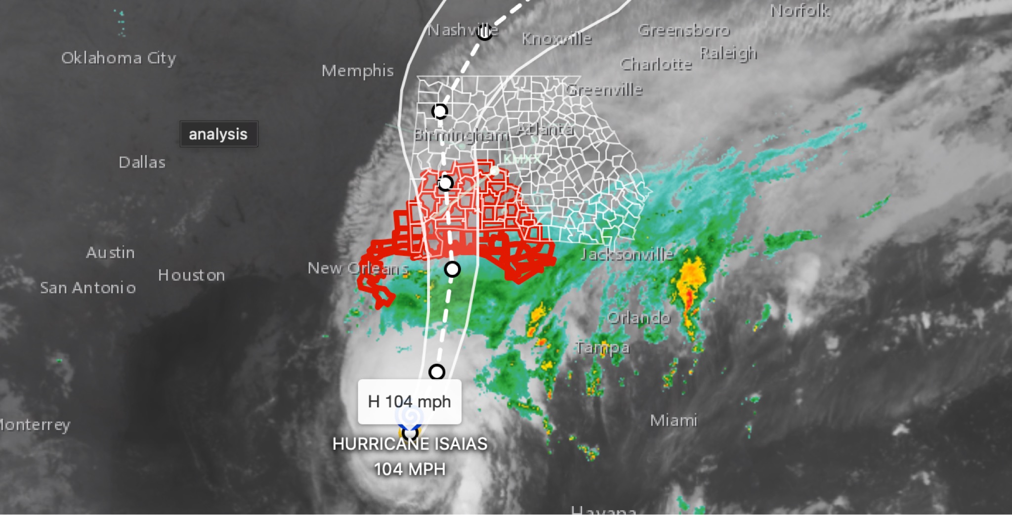 WeatherBREAKING: Hurricane Isaias strengthens to 104MPH in 11 p.m. advisory; East Alabama and West Georgia face flooding, wind, tornado threats
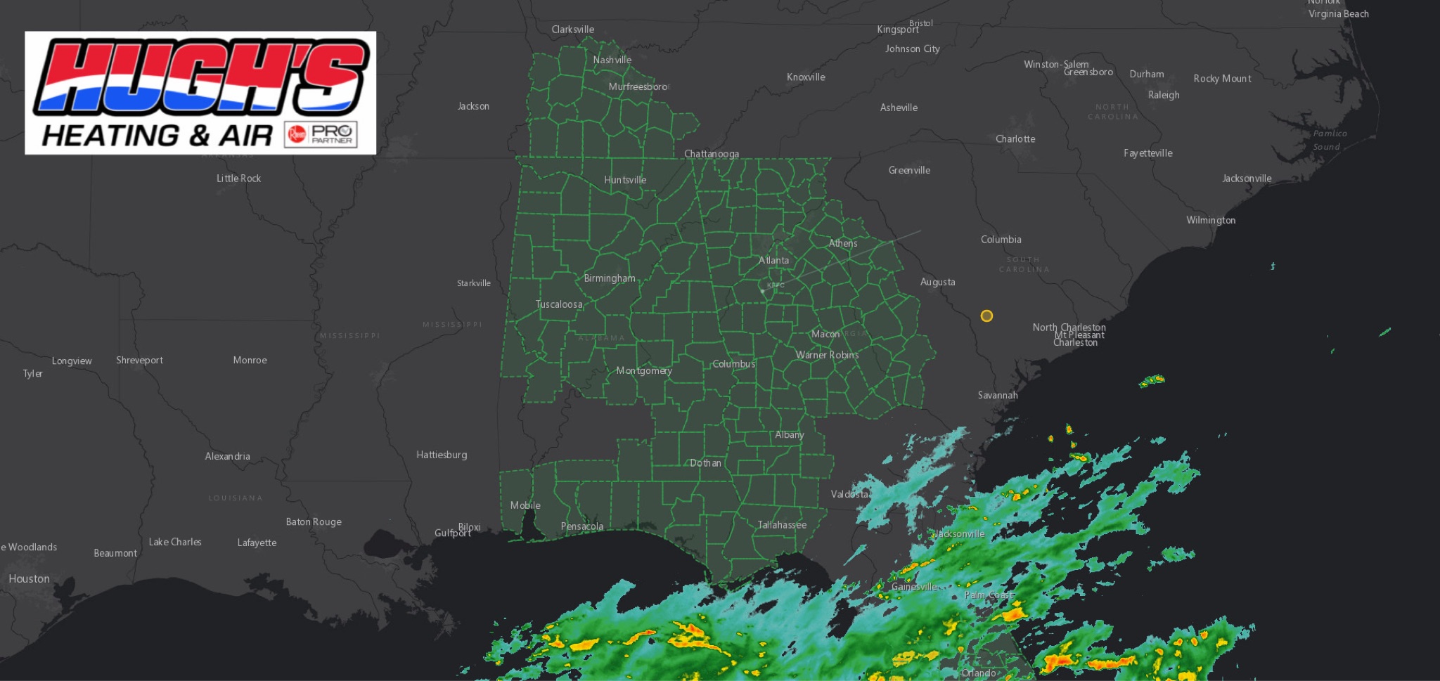 WeatherFLOOD WATCH issued across East Alabama and West Georgia ahead of Hurricane Isaias
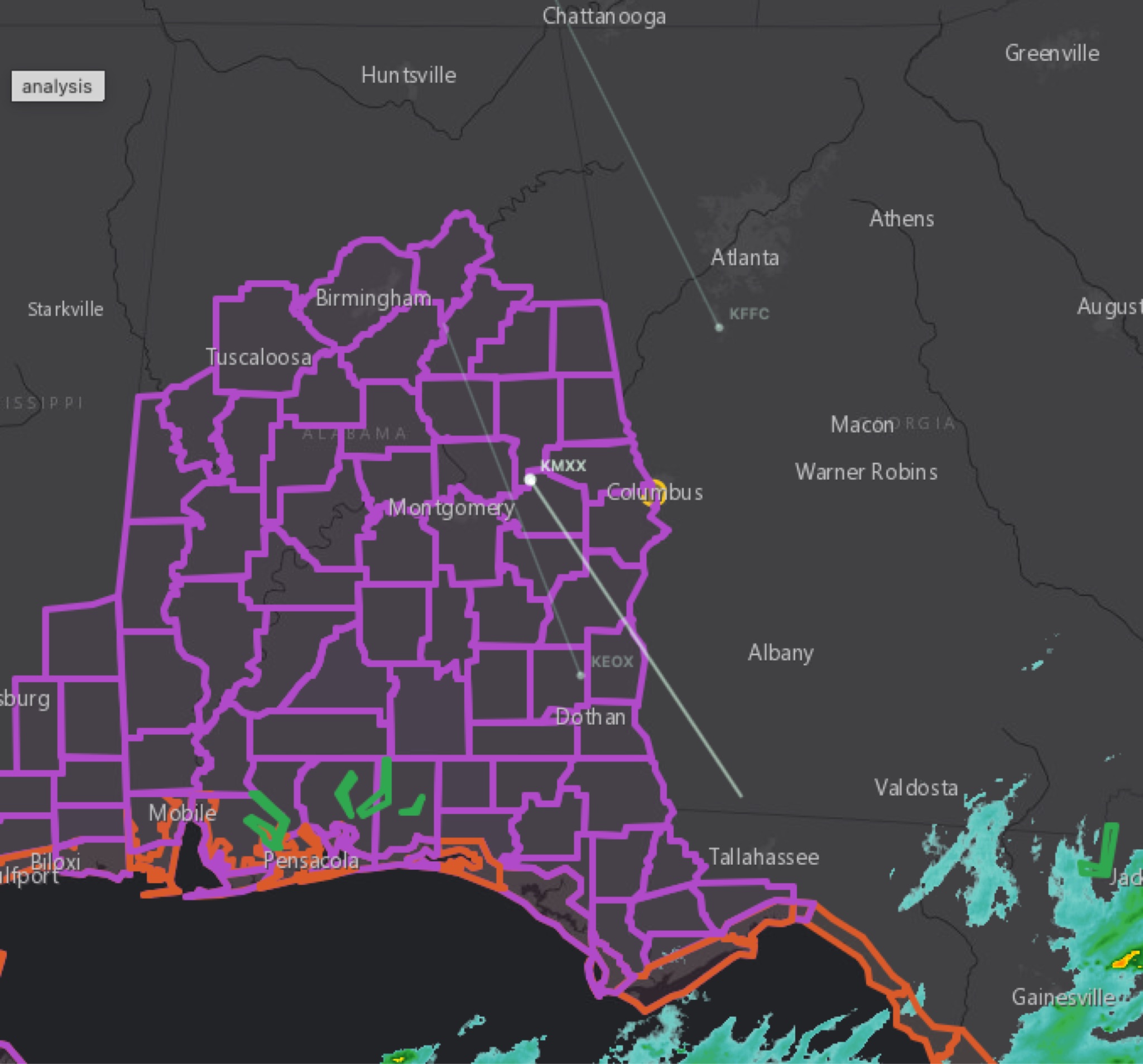 WeatherBREAKING: Tropical Storm Watch Issued for East Alabama as Hurricane Isaias approaches
 WeatherHURRICANE ISAIAS: East Alabama and West Georgia brace for heavy rain, strong winds and tornado threat
 WeatherHURRICANE ISAIAS: POWER OUTAGES REPORTED ACROSS ALABAMA AND GEORGIA