






Tropical Storm Watch Issued for East Alabama as Hurricane Isaias approaches
 LIVE NOW
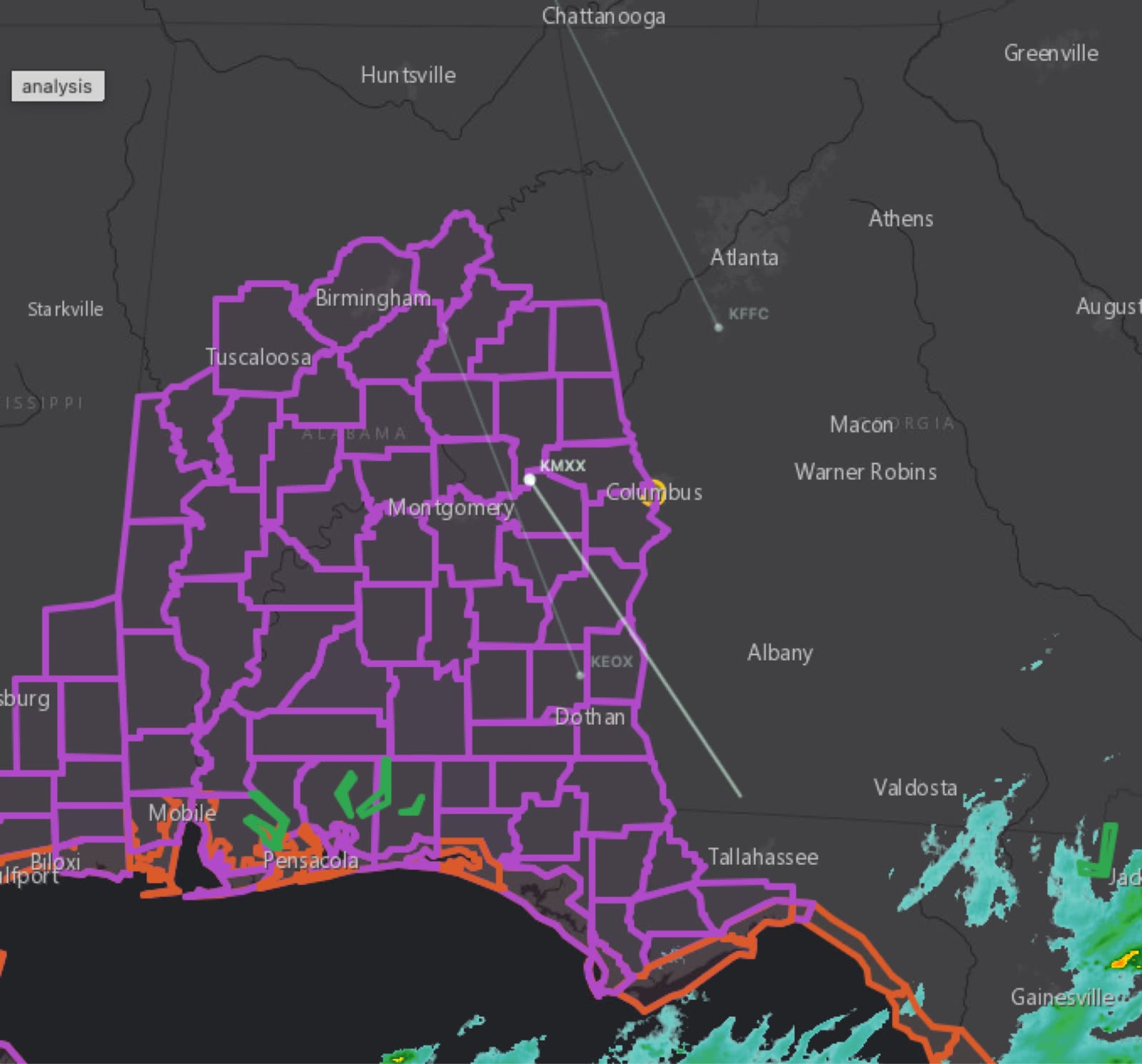
- Tropical Storm Watch issued for East Alabama as Hurricane Isaias strengthens in Gulf of Mexico, moving toward northern Gulf Coast.
- East Alabama faces threats of 39-57 mph wind gusts, 1-3 inches rainfall, moderate flooding, and potential tornadoes Friday into Saturday.
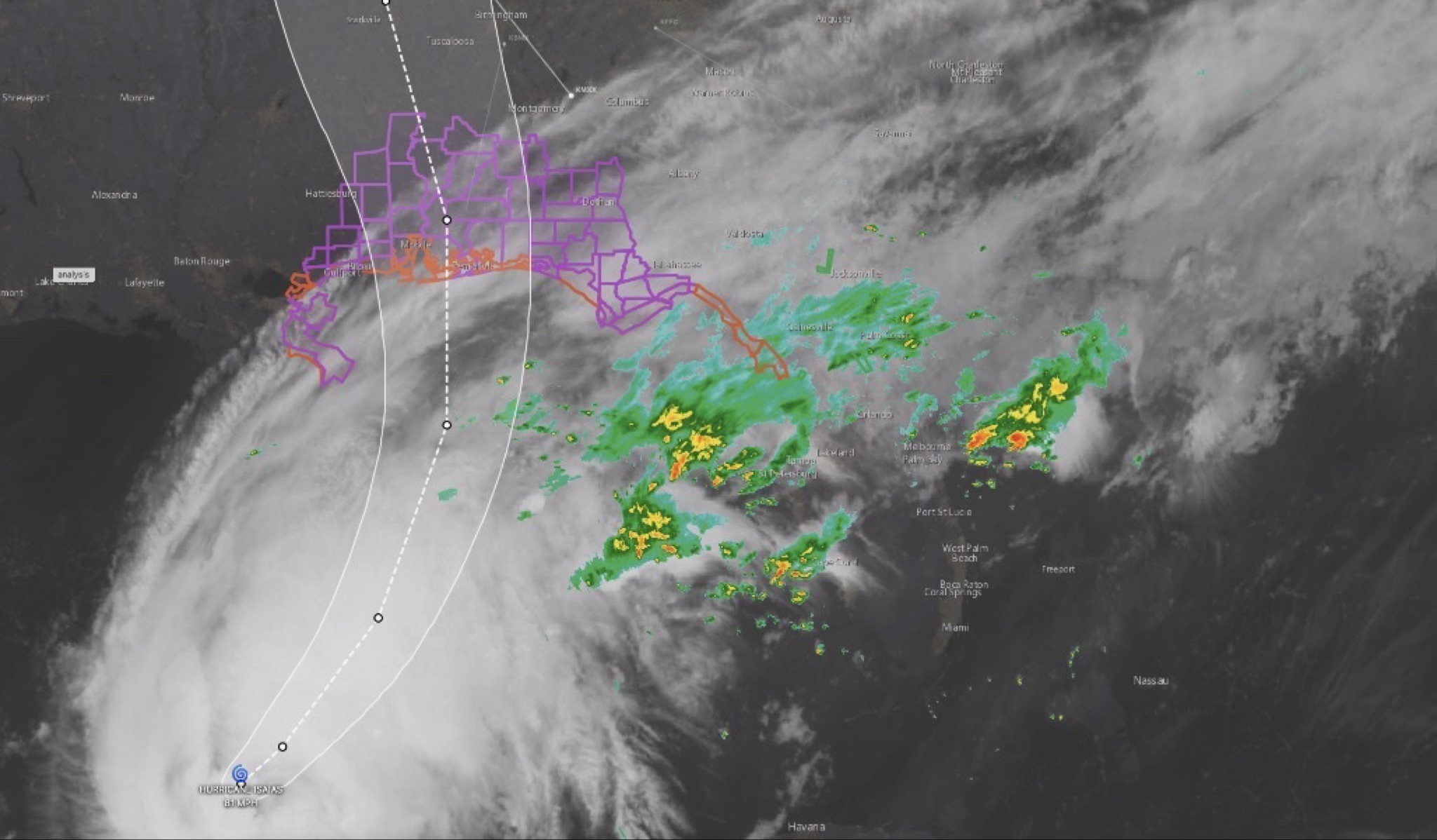
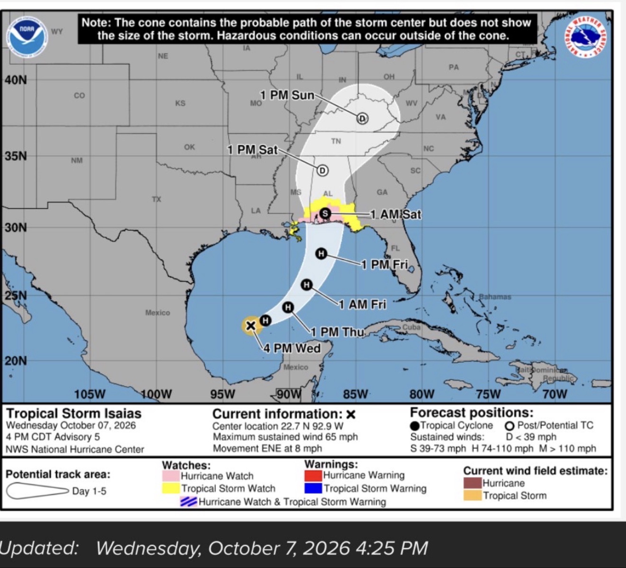
A Tropical Storm Watch is now in effect for our East Alabama coverage area as Hurricane Isaias continues to strengthen in the Gulf of Mexico and moves toward the northern Gulf Coast.
A Tropical Storm Watch means tropical storm-force winds, with sustained winds of at least 39 mph, are possible somewhere within the watch area during the next 48 hours.
According to the latest local forecast information, East Alabama could see peak winds of 10 to 20 mph, with gusts reaching around 40 mph. However, forecasters are warning that the area could experience wind gusts in the 39 to 57 mph range depending on the storm's eventual track, size and intensity.
Those winds could produce scattered damage, including broken large tree limbs, a few snapped or uprooted trees, damaged porches, awnings, carports and sheds, as well as unsecured objects being blown around. Some fences and roadway signs could also be damaged.
Officials are also warning of the potential for scattered power and communications outages and hazardous driving conditions, particularly on bridges and elevated roadways. Debris could make some roads temporarily impassable.
The flooding threat is another major concern for the East Alabama area. The latest local forecast calls for 1 to 3 inches of rainfall, with locally higher amounts possible.
Forecasters say the potential exists for moderate flooding, with heavy rainfall capable of causing rapid rises on rivers, creeks and streams. Poor-drainage areas, underpasses, low-lying roads and parking lots could experience significant water accumulation.
Some roads and bridges could become hazardous or temporarily close if flooding develops.
Residents are urged to never drive through flooded roadways and to heed any Flood Watch or Flood Warning issued by the National Weather Service. Tornado threat also possible
A significant concern with Isaias will be the potential for tornadoes as the system moves inland.
The latest forecast indicates that the atmosphere could be favorable for tornadoes in the Auburn-Opelika area, with the potential for several tornadoes, including a few that could produce considerable damage.
Potential impacts include roofs being damaged or torn from homes, mobile and manufactured homes being severely damaged or destroyed, large trees being snapped or uprooted, vehicles being overturned and widespread power or communications disruptions.
Residents living in manufactured homes should identify a sturdy shelter now and be prepared to move quickly if a Tornado Warning is issued.
Isaias continues to strengthen
The National Hurricane Center reported Thursday morning that Isaias had strengthened to a Category 1 hurricane with maximum sustained winds of 80 mph and was moving northeast at approximately 9 mph.
The Alabama Emergency Management Agency says impacts from Isaias will extend well inland, with the storm expected to make landfall along the northern Gulf Coast Friday evening before moving inland.
The National Weather Service in Birmingham says Central Alabama could experience gusty winds, isolated tornadoes and localized flooding, with the potential for downed trees and power outages.
For East Alabama, the greatest concerns are expected to develop Friday into Saturday, although the exact timing and severity could change as Isaias approaches.
Residents should secure outdoor items, charge phones and other devices, review multiple ways to receive weather alerts, and be prepared for possible power outages.
CNAW2News.com will continue tracking Hurricane Isaias and its potential impacts across East Alabama and West Georgia.
Related stories
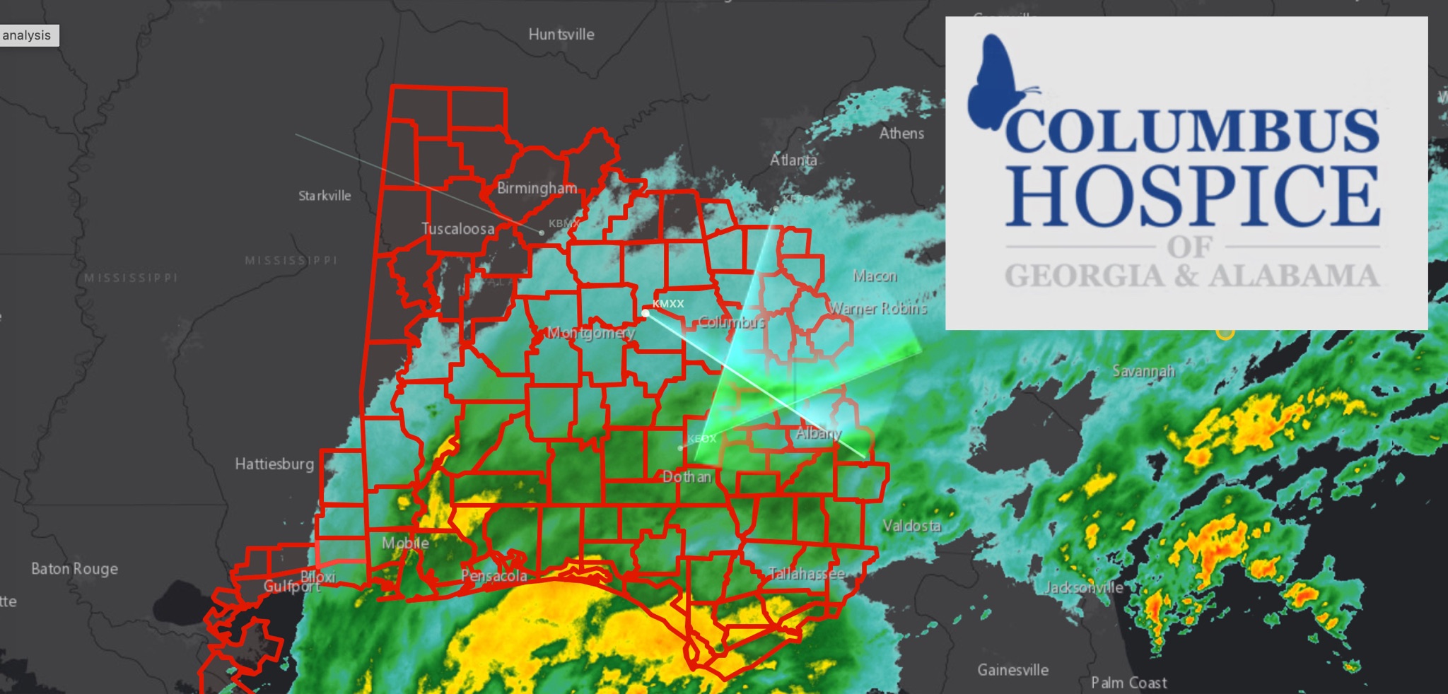 WeatherBREAKING: TROPICAL STORM WARNING EXPANDS ACROSS EAST ALABAMA AND WEST GEORGIA AS HURRICANE ISAIAS APPROACHES
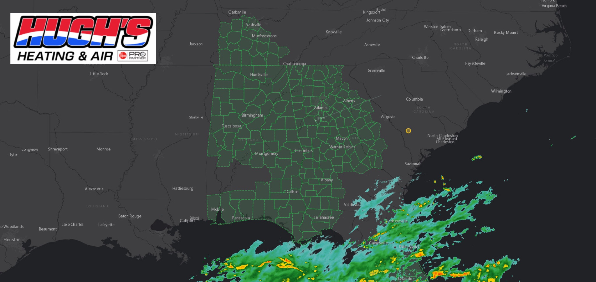 WeatherFLOOD WATCH issued across East Alabama and West Georgia ahead of Hurricane Isaias
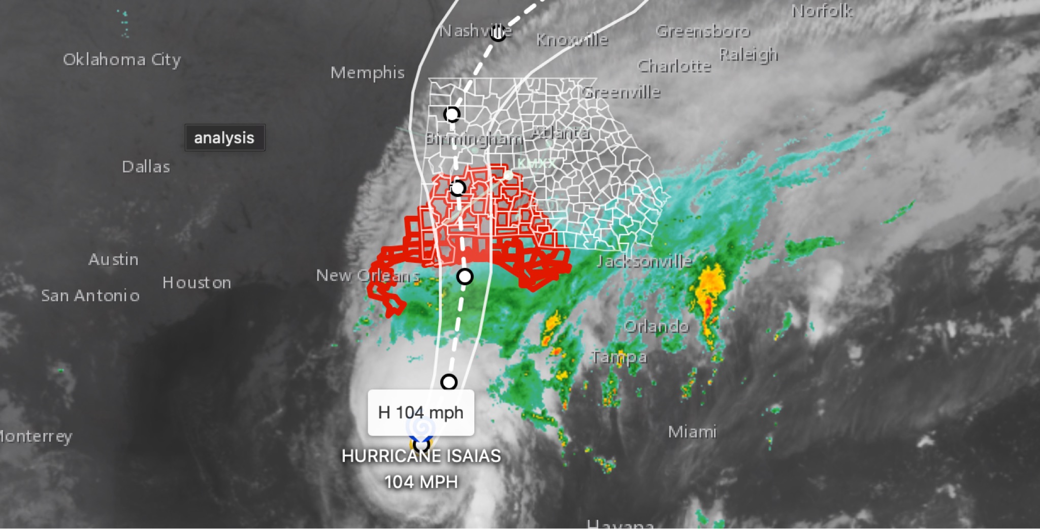 WeatherBREAKING: Hurricane Isaias strengthens to 104MPH in 11 p.m. advisory; East Alabama and West Georgia face flooding, wind, tornado threats
 WeatherHURRICANE ISAIAS: East Alabama and West Georgia brace for heavy rain, strong winds and tornado threat
 WeatherAlabama Governor declares State of Emergency ahead of Tropical Storm Isaias