





Developing
—
What to do
Plan ahead
Any address, any day. Up to 9 days out, it’s our forecast. Further out, an extended forecast from 30 years of weather here.
Our automated weather channel is on the air around the clock: the radar, the temperatures, the week ahead — and when a warning hits the Valley, it stays with the storm.
When does the next front move through Columbus, Georgia?
A warm front comes through around 5:04 PM — a change in the wind with it.
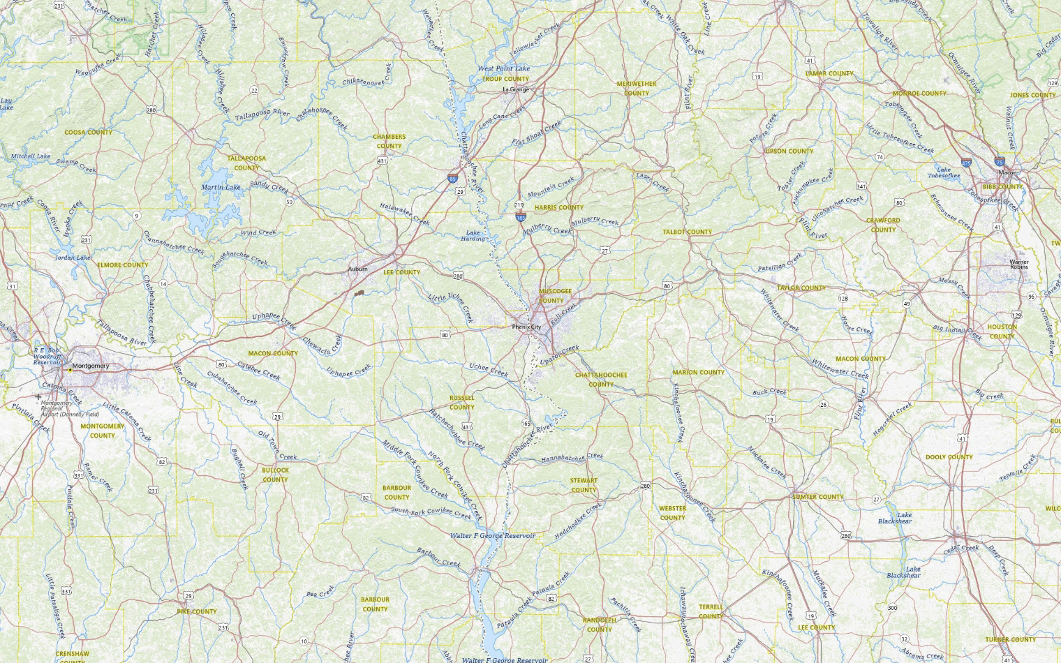
The barometer bottoms out around 5:04 PM, 1.4 millibars below where it sits now, and the wind swings from the south round to the southeast behind it.
A front is not weather in itself — it is the boundary between two air masses, and everything you notice is the swap happening.
There is a warm front about 2 hours out. What you feel as it goes past is the wind swinging round and the air drying — about 2 degrees off the dew point behind it.
The barometer is down 2.0 millibars in six hours. Falling pressure means air is being lifted somewhere close by, and lifted air is what builds cloud and, eventually, rain.
The wind is out of the south at about 8 miles an hour, so the air over us is coming straight off the Gulf, which is where the Valley gets its humidity.
| Day | High | Low | Rain | Conditions |
|---|---|---|---|---|
| TODAY | 79° | 65° | 68% | Showers And Thunderstorms Likely |
| THU | 80° | 61° | 28% | Chance Rain Showers |
| FRI | 78° | 51° | 5% | Mostly Sunny |
| SAT | 72° | 42° | 0% | Sunny |
| SUN | 72° | 43° | 3% | Sunny |
| MON | 72° | 42° | 15% | Mostly Sunny then Slight Chance Rain Showers |
| TUE | 72° | 44° | 9% | Mostly Sunny |
Written by the CNAW2 weather desk from CNAW weather desk data. Last updated November 4, 2026 at 3:04 PM Eastern. Covering Columbus and Phenix City, Auburn–Opelika, LaGrange, Eufaula and the rest of the 19-county CNAW viewing area.
End this chat? It will close for you and for the newsroom.
For an emergency, call 911.