






Developing
—
What to do
Plan ahead
Any address, any day. Up to 9 days out, it’s our forecast. Further out, an extended forecast from 30 years of weather here.
Our automated weather channel is on the air around the clock: the radar, the temperatures, the week ahead — and when a warning hits the Valley, it stays with the storm.
Is anything forming in the Atlantic or Gulf tropics right now?
No: the National Hurricane Center expects no tropical development in the Atlantic, Caribbean or Gulf for the next seven days, so Columbus and the rest of the Chattahoochee Valley have nothing in the tropics to watch.
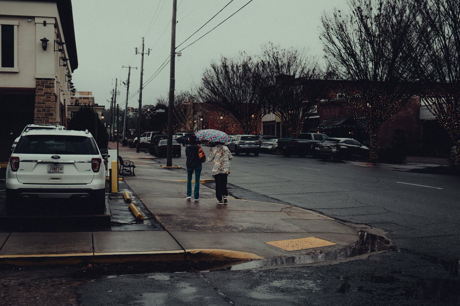
Stand on a dock at Lake Harding some evening this week and look south down the water. Nothing is coming. In its 2 AM outlook Saturday, the National Hurricane Center in Miami said tropical cyclone formation is not expected anywhere in the North Atlantic, the Caribbean Sea or the Gulf during the next seven days. That is the whole message, and for a region that spends August and September watching the Gulf, it is worth noting out loud. The Atlantic hurricane season runs through November 30, and the first week of it is covered by an all-clear.
We sit a long way from salt water here. Storms that reach Columbus, Phenix City, Eufaula and Cuthbert arrive as rain and wind rather than surge, and they usually give the Valley several days of warning. A seven-day outlook with nothing on it means no one in Lumpkin or Hamilton needs to think about the tropics between now and the middle of November.
There is a reason behind the quiet, and it is the same reason the rest of our cold season is worth watching. The equatorial Pacific is in a very strong El Nino, with an index value of 2.16. Warm water out there shifts where the big thunderstorm clusters form, and that shift reaches all the way around the globe. One well-known effect is stronger upper-level wind over the Atlantic, which pulls young tropical systems apart before they organize. The other effect is closer to home: the subtropical jet stream strengthens and runs straight across the southern United States, steering more storm systems over Alabama and Georgia.
The Climate Prediction Center has put numbers on it. For November, December and January, the Valley carries a 60 percent chance of above-normal precipitation, while temperatures are given no real lean in either direction. By February through April, the odds go back to even. In past El Nino cold seasons the Gulf South has generally run wetter and often cooler, with more systems crossing and a raised risk of severe weather in the Gulf states. That last part matters more than the rain for folks in Auburn, Opelika, Tuskegee and Manchester, because winter severe weather here has a habit of arriving after dark.
We start that wet season already a little ahead. Columbus has recorded 43.64 inches of rain since January 1 against a normal of 40.06 inches by this date, roughly three and a half inches to the good. The rivers are closer to average. Over the seven days through October 30, the Chattahoochee River in Columbus averaged 2,627 cubic feet per second against a normal of 2,819 for those dates, and the Chattahoochee River at West Point averaged 2,661 against 2,736. Both are about normal. Dams release water in pulses, so only week-long averages mean anything. The exception is Upatoi Creek near Columbus, averaging 124 cubic feet per second against a normal of 155, about 80 percent, which is what a small creek looks like when the big river is being managed and the local runoff is thin.
So the practical list for the next few weeks is short. Clear the gutters and the yard drains before the pattern turns. Make sure the phone or a weather radio can wake you at two in the morning, because a wetter winter in this part of Georgia and Alabama tends to mean more nights worth being woken for. The quiet Atlantic and the busy winter ahead are two sides of the same warm Pacific.
| Day | High | Low | Rain | Conditions |
|---|---|---|---|---|
| TONIGHT | — | 62° | 0% | Mostly Cloudy |
| TODAY | 78° | 60° | 12% | Mostly Cloudy |
| SUN | 72° | 57° | 33% | Chance Rain Showers |
| MON | 77° | 59° | 9% | Partly Sunny |
| TUE | 79° | 62° | 15% | Partly Sunny |
| WED | 79° | 60° | 60% | Slight Chance Showers And Thunderstorms then Showers And Thunderstorms Likely |
| THU | 79° | 55° | 33% | Chance Rain Showers |
Written by the CNAW2 weather desk from CNAW2 weather desk data. Last updated October 31, 2026 at 5:59 AM Eastern. Covering Columbus and Phenix City, Auburn–Opelika, LaGrange, Eufaula and the rest of the 19-county CNAW viewing area.
End this chat? It will close for you and for the newsroom.
For an emergency, call 911.